-

Event: #Maptime Detroit – Psycho-Geography
-
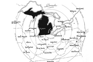
Map: Detroit – Center of it All 1949
-

Map: Desired Pathways in Detroit’s Cass Corridor
-

Map: Detroit Storefront Index
-

Map: Index of Inaccessibility & Border Plants in Hamtramck and Detroit
-

Event: Open Data DiscoTech
-
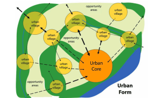
Map: Detroit’s New Urban Form?
-

Map: Private Land Claims in Detroit 1810
-
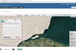
Map where a raindrop falls in Detroit
-
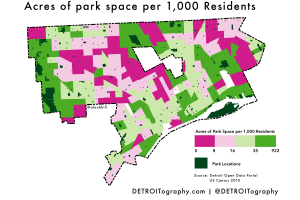
Map: Park Acres Per Resident in Detroit
-
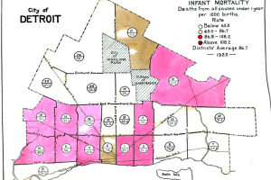
Map: Detroit Infant Mortality Rate 1922
-
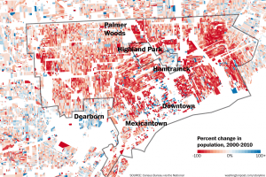
Detroit’s population change by block 2000-2010
-

Map: Detroit Building Age Density Map
-

Map: Residences and Industrial Areas of Employees in Detroit 1942
-

Map: Archipelago Detroit – Colonial Farming, Industrialization, and Transitions
-

Map: Detroit’s Industrial Growth and Decline
-

Map: Detroit Annexation and Wayne County 1922
-

Map: Landscape Park in Detroit Context
-
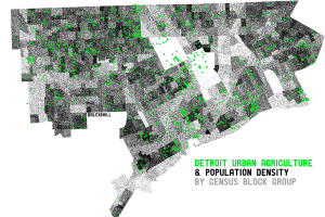
Map: Urban Agriculture in Detroit 2014
-
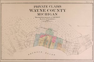
Map: Detroit and Wayne County Claims 1914
-

Map: The Landscape Park and Energy Production in Detroit