-

Map: Campus Martius Square in Detroit
-
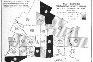
Map: Comparative Health Rating for Sections of Detroit 1920-1921
-
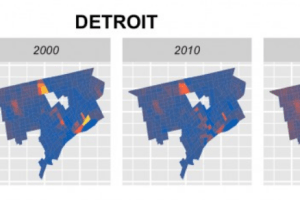
Map: Predicting Gentrification in Detroit with Longitudinal Census Data
-
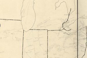
Map: Detroit on the Underground Railroad 1838-1860
-

Map: Detroit’s Changing Region 2000-2010
-

Workshop: Data, Mapping, and Research Justice
-

Map: Environmental Justice in Detroit
-

Map: Detroit is Full of Old Housing
-
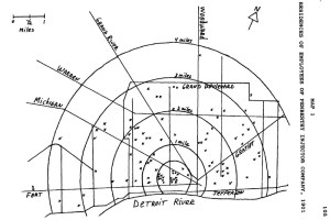
Map: Residences of Employees of Penberthy Injector Company Explosion 1901
-

Map: Wealth Divides in Metro Detroit
-

Map: Detroit Traffica Island Picnic Spot
-

Map: Detroit Regional Transit Authority Vote by Precinct 2016
-

Map: Home Range of the Detroit Pheasant
-

Map: Neighborhoods Selected for Major Investment 2017
-

Map: Detroit’s North End 2014
-

Map: South Detroit Mobility
-

Map: Presidential Campaign Stops in Detroit 2016
-

Map: Gerrymandered Detroit
-
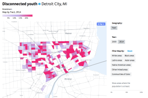
Map: Disconnected Youth in Detroit 2014
-

Event: DETROITography Pop-up Gallery
-
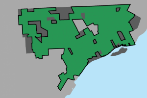
Map: Detroit’s Inner City 2016?