Map: Detroit Traffica Island Picnic Spot

traffica-island-picnic.jpg

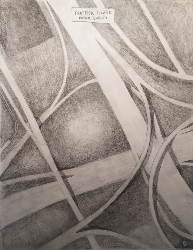
Similar to roads knots, there exist odd shaped and often lush park-style spaces in between the expressways. The Detroit Area Rambling Network calls these “traffic islands” with a beautifully hand drawn map of the I-75 and M-8 (Davison) interchange. The invisible in-betweens perhaps new opportunities to see cities in a new light.

Leave a Reply

Fill in your details below or click an icon to log in:

WordPress.com Logo

You are commenting using your WordPress.com account. Log Out /  Change )

Facebook photo

You are commenting using your Facebook account. Log Out /  Change )

Connecting to %s