Researchers found that neighborhoods equipped with indicators of development like sidewalks or crosswalks were linked to reductions in obesity and high blood pressure. They also found that more road signs and street lights correlated with lower prevalence of high cholesterol and cancer, as well as reduced depression and smoking.
These findings are based on training a computer model to identify and label a series of features in the built environment. The study analyzed 164 million Google Street View images harvested from across the US. The images were then compared to socioeconomic and demographic data from the US Census and Centers for Disease Control and Prevention (CDC).
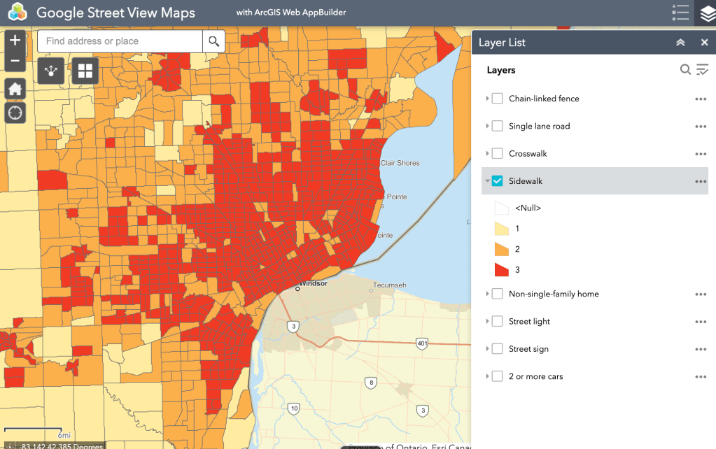
The project is exciting and novel with the potential to reduce time to assess built environment indicators, but a critical missing element that all too often haunts Detroit is the inability for databases and models to assess quality of assets in the built environment. A model may find sidewalks everywhere, but fails to categorize many Detroit sidewalks as impassable. Other computer models from MIT based on Google Street View (2014) oddly ranked streets full of cars as less safe than vacant lots with unsafe structures.
These maps based on Google Street View to categorize the built environment, as many data projects do, paint Detroit red. In this instance, the data in question is positive with Detroit presenting with more sidewalks and crosswalks – but with high rates of heart disease, pedestrian vehicle fatalities, and smoking it is hard to see the computer assisted value.
