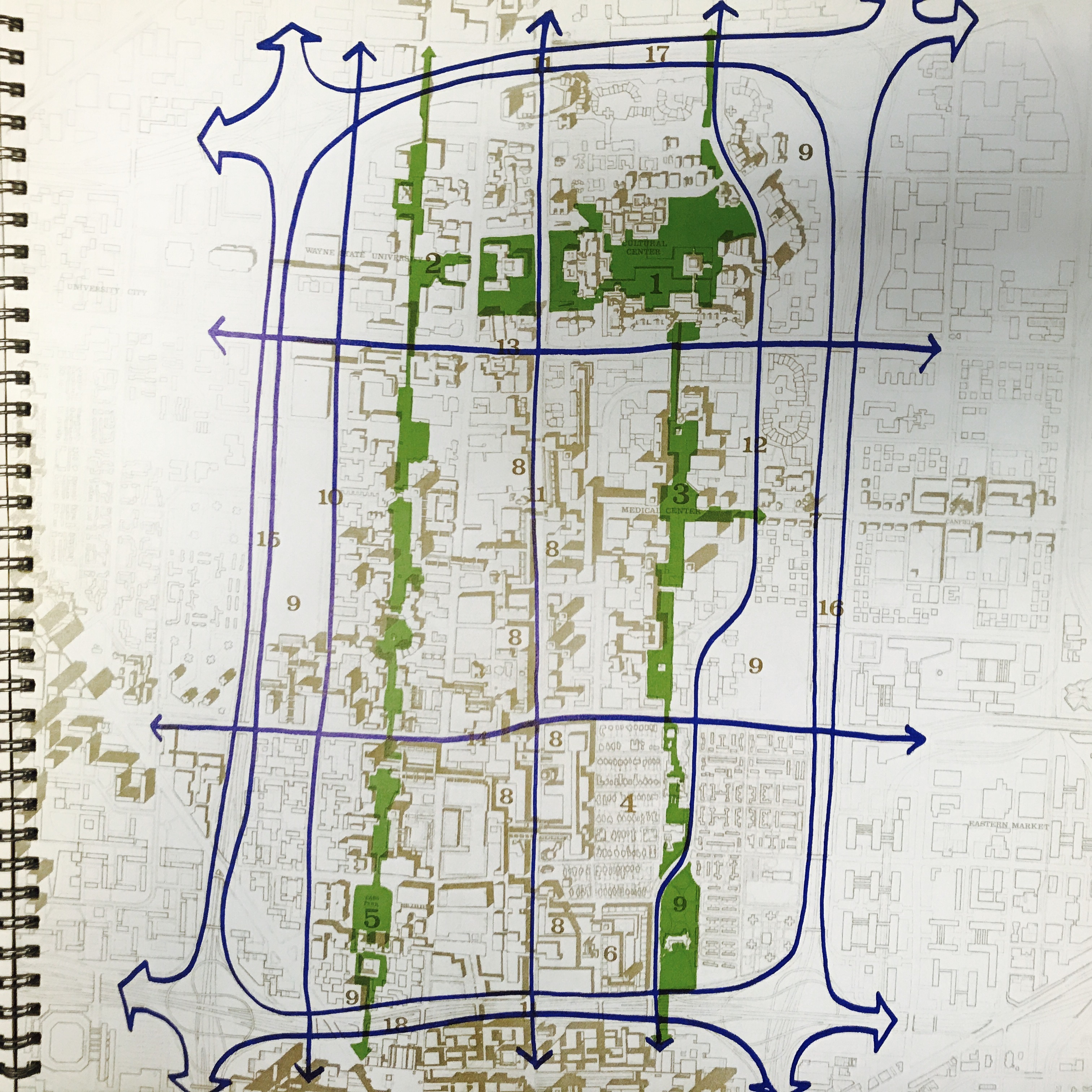
This proposed map of open space and green pathways was included in the beautifully designed plan “Detroit 1990: an Urban Design Concept for the Inner City” from the Department of City Planning.
The plan broke the Greater Downtown area into “subdistricts” and this particular plan of pedestrian pathways imagines linking all the subdistricts together. From the planning report:
“Each cross-city link connects to major centers: on the eat to Forest Park via the community college; no the west to a continuation of Wayne’s campus and to the shopping triangle of West City. These links together with the major pedestrian bridges to the CBD and New Center are important as intelligible symbols of the continuity from district to district and encourage a sensible sequence of related-ness from district to community to city.”

Pingback: Map: Imagining the Riverfront 1970 | DETROITography
What a great map Alex! Is there anyway you could include the legend so we could map out some of the numbered landmarks?
I am curious to where the green belts and parks would fit into today’s geography. Great find!
Pingback: Map: Cultural Center Design Plan | DETROITography