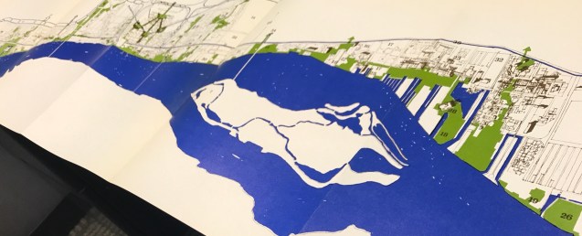
This multi-page fold-out map of the full Detroit riverfront is from “Detroit 1990: an Urban Design Concept for the Inner City” from the Department of City Planning. It seems as though the current riverfront planning follows the vein of these plans imagined back in 1970.
“As intolerable as pollution are the barriers that divide River and city. A new order must evolve. The River must be made pat of the city, part of the life of people. And the key to this revolution lies in the accessibility of the edge.
The design proposes a continuous pedestrian way that exposes the rich variety of activity of the waterfront, a path that would be a dynamic link of the River and city, working like the River itself to bring the people and activities of a river city together. The excitement of ports, the large cranes, the ships calling from Sweden, Japan would be as much a part of the patterns of the city as the busy parks of the Cultural Center.
