
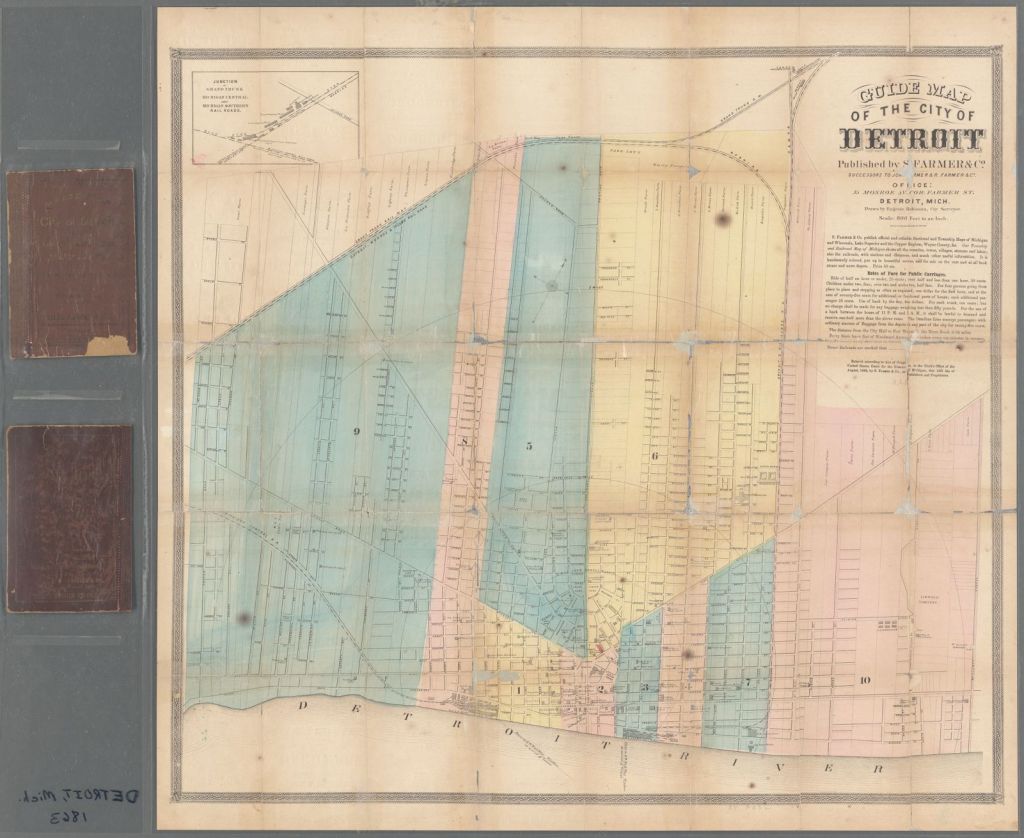
A colleague was recently talking about Civil War history and this map popped back up on my radar. Published by Silas Farmer & Co., this map was digitized by in the NYPL Map Division. In 1863, everything of importance was half a mile away from Campus Martius from government buildings, colleges, high school, hospitals and churches. Notably, a number of “colored” churches are listed along Beaubien Street which would have been in the historic area of Black Bottom.
The same year represented a momentous shift in Detroit as one of the city’s deadly race riots broke out after Thomas Faulkner (Spanish-Indian descent) was falsely convicted of assaulting two white women. A white mob utilized his case to violently vent their anger about the Civil War, conscription, and racial issues against the Black residents of the city. Homes and businesses were burned along Lafayette Street downtown and two people were killed. The Faulkner Riots led to the formation of Detroit’s first official police force.


Thanks Alex for posting and sharing this 1863 mapping of Detroit. I am a map enthusiast, and it was fun studying the map and tracing the roots to modern day downtown Detroit.
Thanks Alex for posting and sharing this 1863 mapping of Detroit. I am a map enthusiast, and it was fun studying the map and tracing the roots to modern day downtown Detroit.