-

Boulevard, Avenue, Road, and Street in Detroit
-

Detroit Median Family Income Map 1965
-
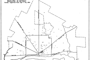
Detroit Smallpox Map 1920
-

Detroit Techno Pac-Man Map
-

Detroit Future City Mini Maps & Open Data
-

Map: Nonlocal Land Use in Detroit 1969
-
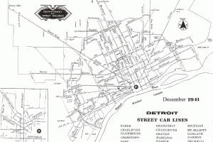
Detroit Streetcar Rail Map 1941
-

Map: Where will the new Neighborhood Police Officers program focus?
-

Map: Children’s automobile ‘accidents’ in Detroit
-
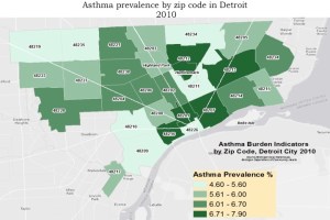
Map: Asthma Prevalence by Zipcode in Detroit 2010
-
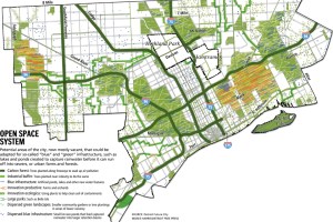
Detroit Blue Green Open Space Map
-
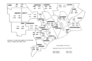
Detroit Racial Tensions Map 1968 – 1969
-

Detroit Infant Mortality Map 2009 – 2010
-

Map: Current and Vacant Commercial Corridors in Detroit
-

Inequality between Detroit City and Suburbs 1970
-

Detroit Transit Alternatives Map: Toward Public – Private Partnerships
-

Economic Map of Metropolitan Detroit
-
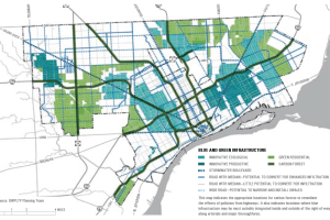
Detroit Blue Green Infrastructure Map
-

Detroit Neighborhoods Map 2003
-

Detroit School Decentralization Map 1970
-

Map: Stabilization is Demolition in Detroit