-

Map: Detroit Regions of Cockroaches and Flies 1970-73
-
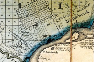
Map: Detroit’s 10,000 acre plot 1825
-
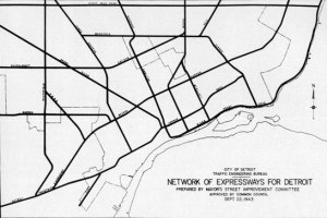
Map: Network of Expressways for Detroit 1943
-

Map: Detroit Master Plan 1951
-

Map: Woodward Business Chart 1868
-

Map: Detroit Rapid Transit System 1920s
-

Map: Slums, Industrial, and Low Cost Housing in Detroit 1941
-

Map: Hypothetical Effects of A Nuclear Attack on Detroit 1951
-

Map: Martin Luther King Jr. and Detroit
-

Map: Detroit Area Ethnic Groups 1971
-

Mystery Federal Map of Detroit
-

Map: Extent of Detroit City Services 1870
-

Map: Detroit Annexation 1891
-

Map: Detroit Streetlights 1897
-

Map of Detroit Interurban Lines 1915
-

Detroit Redlining Map 1939
-
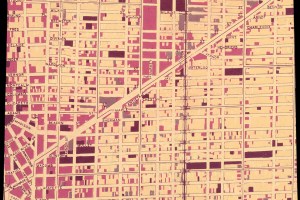
Detroit Street Map Transparency
-

Map: Ethnic Migrations in Detroit 1900 – 1950
-
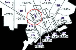
Map: Detroit Crime Increases 1963
-

Map: Detroit by Subcommunities 1952
-
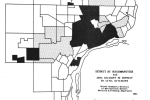
Map: Detroit Dental Aid Referrals 1958