-

Map: Corktown Animated Over the Years
-

Map: Corktown’s Evolving Boundaries
-

Map: Growth of Detroit in Pictograms
-

Map: Historic Detroit Neighborhoods 1884
-
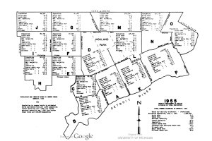
Map: Public Health in Detroit 1955
-

Event: Network Detroit 2014 – Detroit Cartographies
-

Map: Detroit Postal Area Codes 1946
-
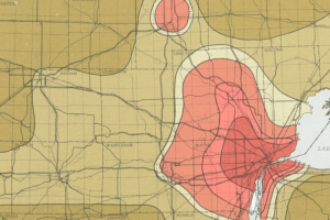
Map: Detroit Percent of Land in Farms 1900 – 1959
-
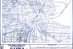
Detroit Flood Insurance Map 1981
-
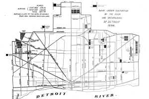
Map: Detroit Pingree Potato Patches 1896
-

Map: Detroit Streets 1944
-

Map: Jewish Migration in Detroit 1840 – 1965
-

Map: Detroit Urban Renewal Projects 1963
-

Data: Marchers with Martin Luther King Jr. in Detroit 1963
-

Map: Military staging during the 1967 Detroit Riots
-

Map: The Geography of A Detroit Anthology
-

Detroit Geographic Expedition & Institute’s Work Map
-

Map: Distribution of Races in Cass Corridor 1971
-

Map of Detroit in 1796
-

Map: Cass Corridor 1971
-
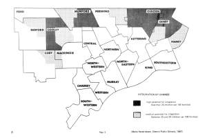
Map: Potential for School Integration 1967