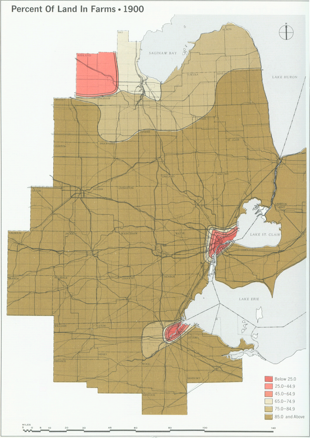
This beautiful series of maps, among many others, come from a three volume set of books commissioned by DTE in the 1970s titled, Emergence and Growth of an Urban Region: The Developing Urban Detroit Area. Constantinos Doxiadis was hired by DTE because of his focus on the “science of urban settlements” which he called Ekistics.
These maps help to show how the Detroit region shifted from an agricultural focus to industrial as population and industry grew over time.
