
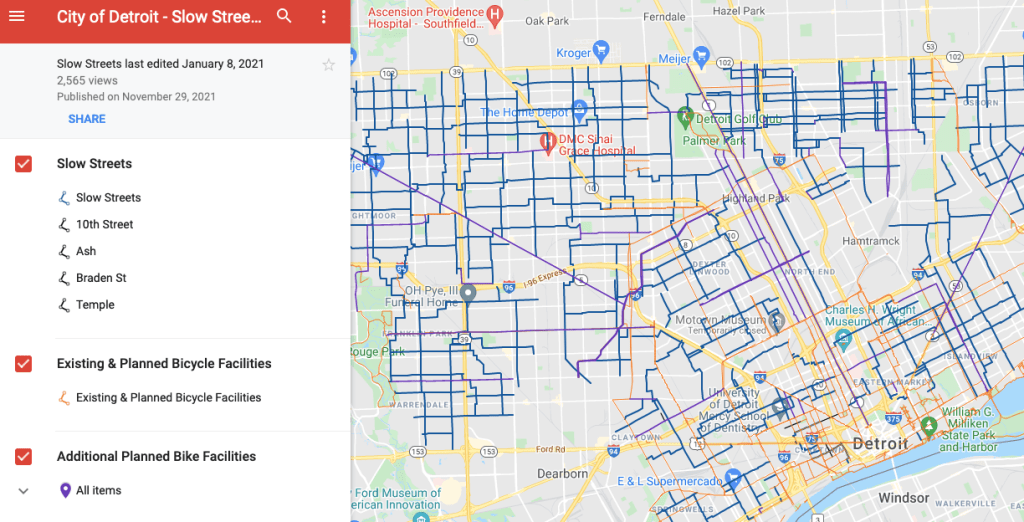
The City of Detroit has been slowly attempting to tackle the high rate of pedestrian deaths by motor vehicles. The speed humps have been a big part of reducing speeding along with road diets on major arterial roadways like Gratiot and Grand River in collaboration with MDOT. “Slow Streets” are the next major effort:
“A slow street is a residential street with some form of traffic calming, such as speed cushions and signage to help you access key destinations such as parks and schools within your neighborhood.”

GOOD.