We’re starting a new series of posts that feature, YOU! and your “maps at home.” Let us know if you have a cool map of Detroit hanging up (or not hanging) that you’ve collected and really enjoy. Thanks to Francis for kicking us off!
What is your map at home (title, year, etc.)
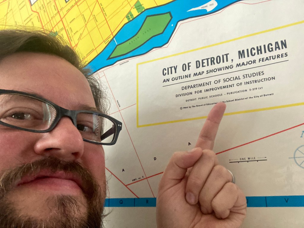
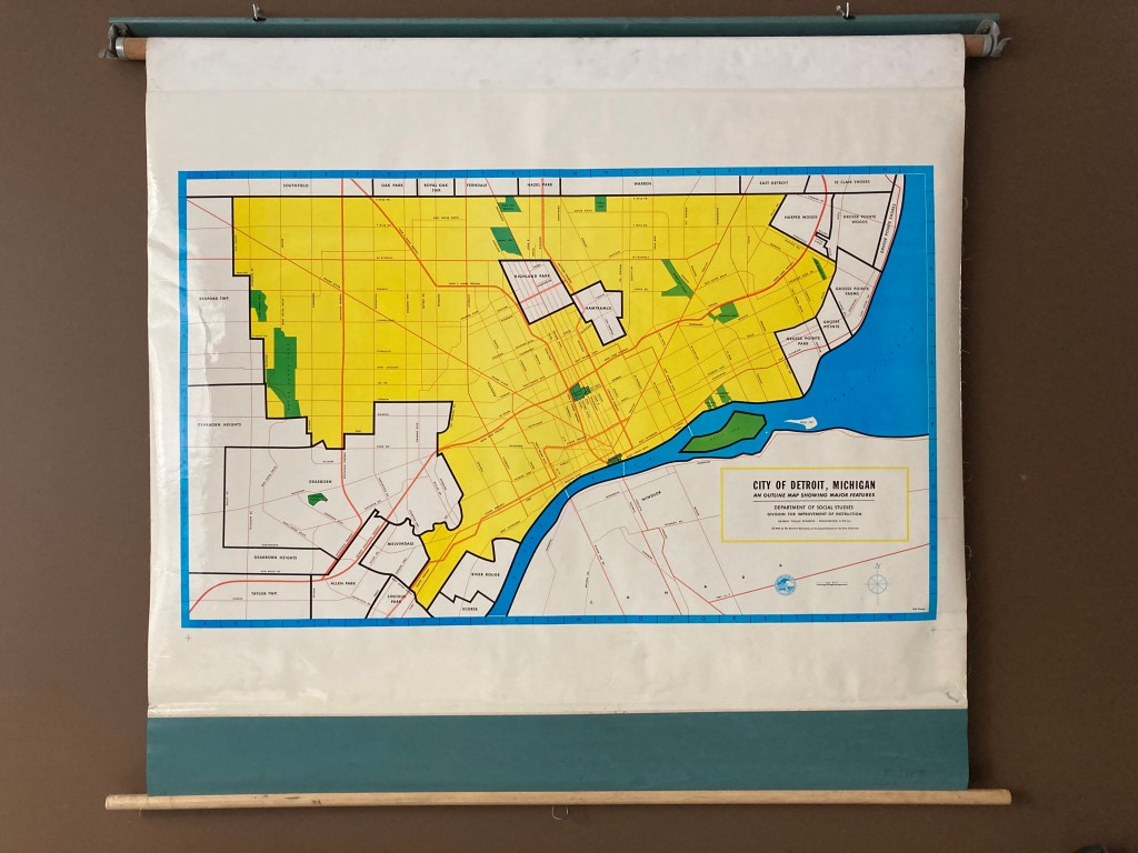
City of Detroit, Michigan An Outline Map Showing Major Features. Detroit Public Schools, 1964
Where did you find/acquire the map?
This map was gifted to me by someone who had access to a Detroit Public Schools warehouse and knew that they were getting rid of it.
What made you hang it on your wall? What stood out to you? What details do you enjoy about the map?
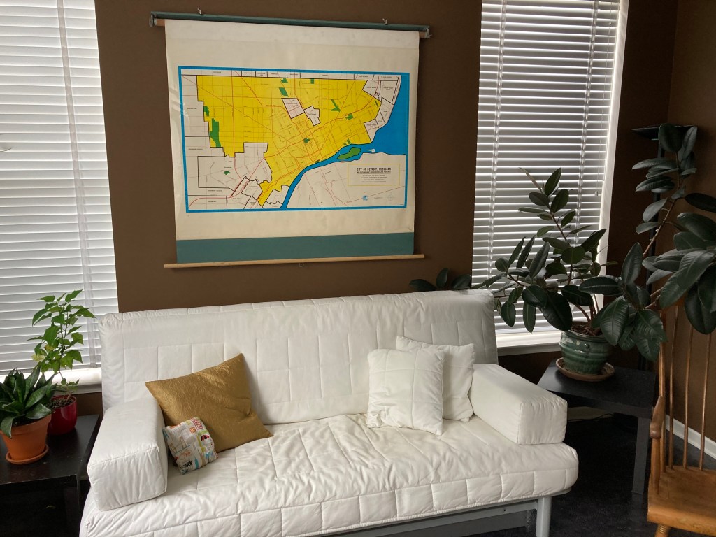
This map of Detroit was made to hang on a wall! It is one of those old school spring loaded pull down maps. I love that it is still attached to the roller, but we never roll it up. I actually love that it is not very detailed. I think it might have been drawn as a basemap, to just show, as it says in the title, “mayor features.” So not a lot of streets. It’s limited to the mile roads and the more important North-South corridors. I like that it is fairly contemporary, but is old enough to predate certain things. Like it was made before the Jeffries Freeway and shows the Fisher Freeway under construction. Eastpointe is still East Detroit.
What in your background has drawn you to maps?
We have a lot of maps in our house, including a bunch of globes. As an urban planner in a previous life, I have loved maps for decades, and have a number of Detroit maps, including some old ones that show what materials streets were paved in. Unfortunately not enough of my Detroit maps are framed!
