-

Map: Detroit Street Guide 1947
-
Map: The Urban Archipelago in Detroit 2010
-
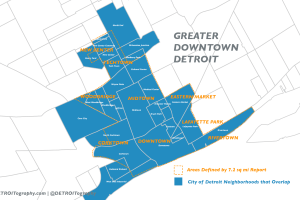
Map: What is Greater Downtown Detroit?
-
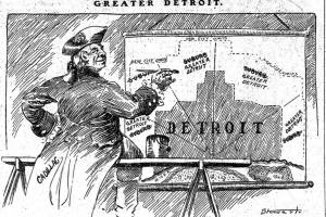
Map: Cadillac is proud of Detroit Annexation 1903
-
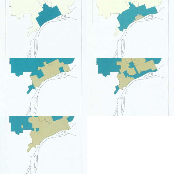
Map: Downtown Detroit Population Loss since 1900
-

Map: Building Conditions in the Grand Boulevard Sector Detroit
-

Map: Avery Street in Detroit 1921 vs. 2010
-

Map: Detroit Neighborhood Coffee Shop Density 2015
-

Map: United Strohs of America
-

Map: Climate Adaptation Strategies in Detroit
-
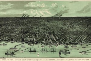
Map: Three Square Miles of Downtown Detroit 1889
-

Map: Landscape of Children vs. Elderly in Detroit
-

Map: Indian Trails in metro Detroit
-
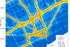
Map: Detroit Expressways and Emissions
-

Detroit Traffic Volume Map
-

Map: The Rise and Fall of Downtown Detroit
-

Map: Detroit Streetlight Updates
-

Map: Detroit’s Digital Divide
-

Map: Detroit Fire Insurance 1910s
-

Map: Detroit and Hog Island 1820
-

Detroit Building Footprints Map