We are quickly approaching time for our annual Detroit Regional Transit Fantasy Support Group gathering.
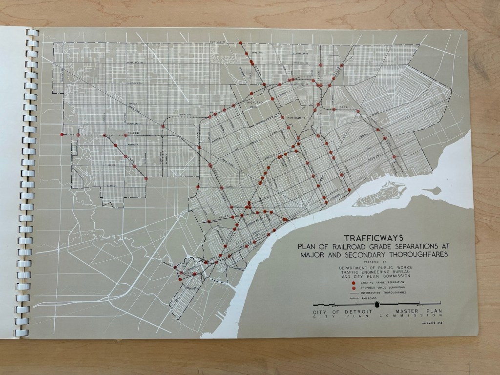
This map in the 1950-51 Master Plan jumped out to me as an interesting “what if” these routes had become a light rail system in the city? I know a good chunk of these old railways are being turned into the 30-mile Joe Louis Greenway and maybe we can imagine elevated rail above the greenway? Maybe that could be Duggan’s promised People Mover expansion?
