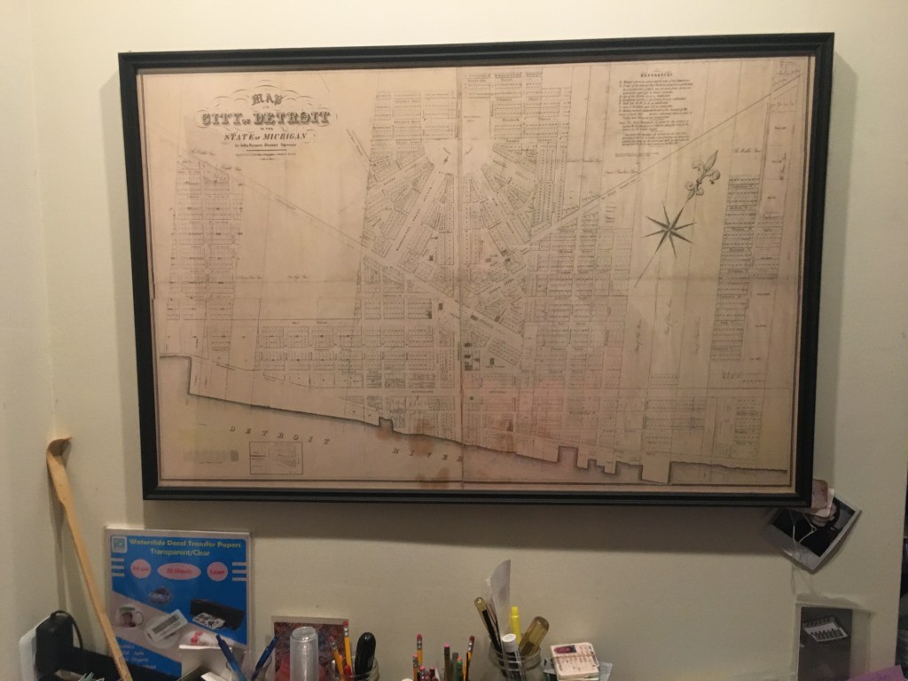
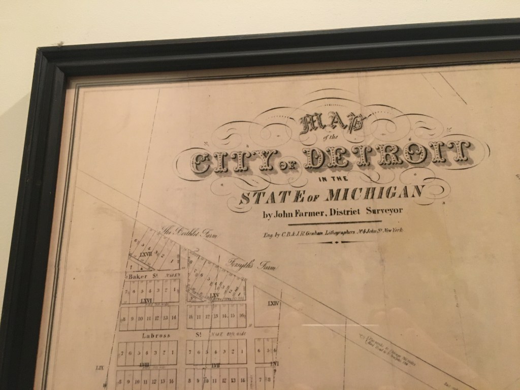
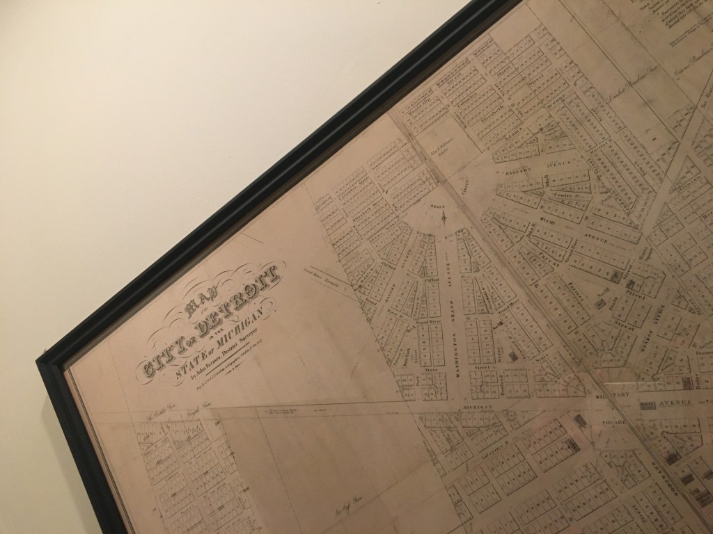
What is your map at home (title, year, etc.)
It’s a reproduction of John Farmer’s Map of the City of Detroit, 1835
Where did you find/acquire the map?
I had a service print this high quality map. They’re not hard to find. But I’ve been interested in maps of this era because of my interest in Bela Hubbard who came to Detroit at age 20 in 1835.
What made you hang it on your wall? What stood out to you? What details do you enjoy about the map?
The Woodward design is fascinating. This map shows more closely how the design went down and how it exists today, mostly. Woodward had a much more expansive plan, but political forces shifted to the grid system, likely because of the history of the vertical ribbon farms. This map is a hybrid of an aspiring vision and the eventual reality. Woodward’s vision wasn’t completely crushed, just mostly crushed. But in 2021, these streets on the radial pattern really define downtown. Woodward’s vision survives nearly 200 years later. If he could return, he’d recognize the layout.
What in your background has drawn you to maps?
As a resident of Hubbard Farms, named after the aforementioned Bela Hubbard, I’m very interested in that era just prior to statehood. I’d give anything to be able to walk those streets in 1835.
