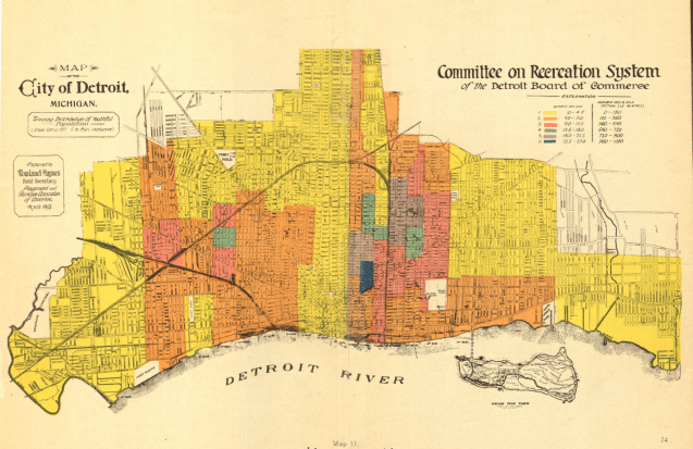
This fun colored map was included in the 1913 Detroit Recreation Survey put together on behalf of The Detroit Board of Commerce.
This fun colored map was included in the 1913 Detroit Recreation Survey put together on behalf of The Detroit Board of Commerce.

Pingback: Map: Detroit Streets with House Numbers 1912 | DETROITography