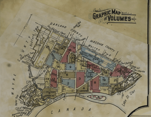
There’s nothing particularly interesting about this map included in the top left corner of the Sanborn Fire Insurance maps from the Library of Congress. What stood out most to me is that new maps have been pasted over top as updates.

The attached “Correction Record” includes dates from 1944 through 1949 when updates were physically attached to the map. Today we have digital change logs and version control. Sometimes those new digital systems work and sometimes I feel like we still need to print out every version of a document or map in order to ensure changes aren’t forgotten.
