Map: Full Color Detroit 1891

Screen Shot 2016-11-14 at 8.19.02 AM.png

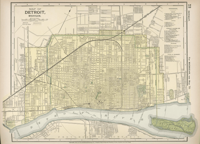
This map is part of the David Rumsey Historical Map Collection and, in my opinion, is a beautiful reference map of the time period. My favorite is the inclusion of the distance radii and the Grand Boulevard parkways stand out in all their verdant glory.

Leave a Reply

Fill in your details below or click an icon to log in:

WordPress.com Logo

You are commenting using your WordPress.com account. Log Out /  Change )

Facebook photo

You are commenting using your Facebook account. Log Out /  Change )

Connecting to %s