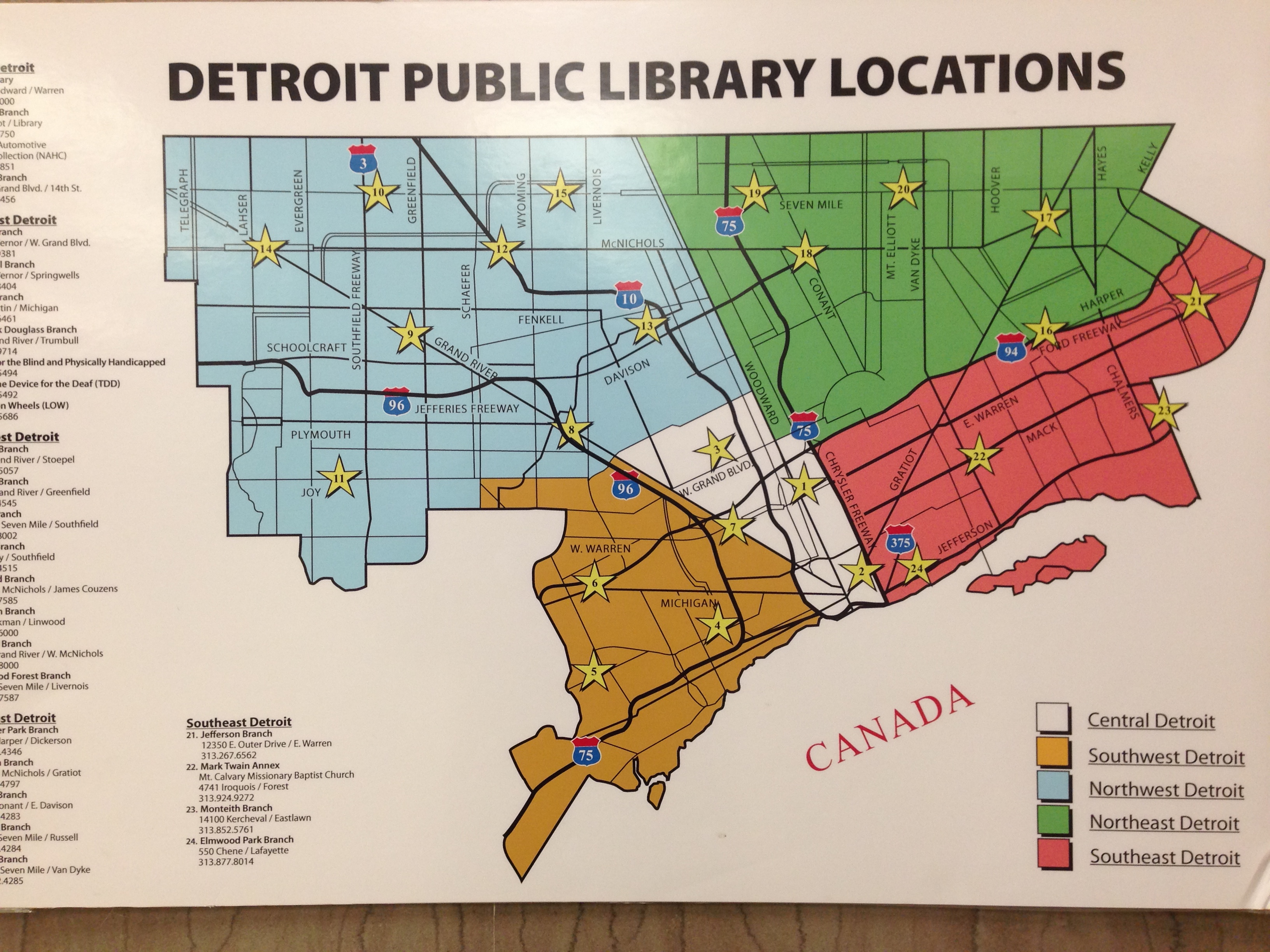
I discovered this map in the Detroit Public Library (DPL) Main Branch. My first thought was that many of the locations are no longer open. Then I noticed the way the city is broken into 5 parts, most interesting is the “Central Detroit” area. Anyone know where these areas may have come from?
I was also extremely saddened to learn that the “Map Room” no longer has any maps. When I asked where I could find maps, I was told by staff that they are all in the basement. I would have to search the catalog and then request to see a specific map.
