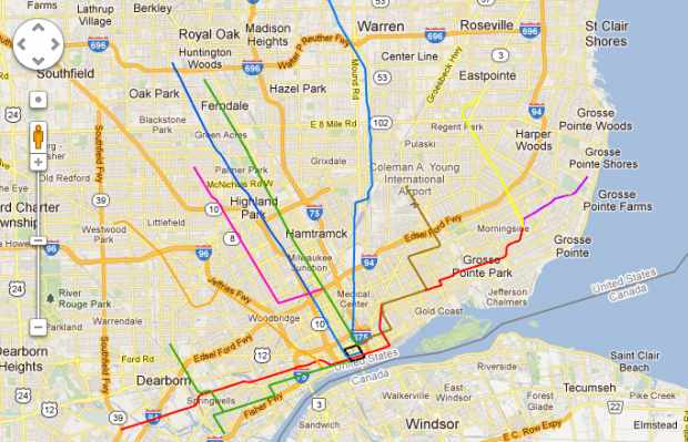
This map comes by way of the Changing Gears public radio program focused on the industrial Midwest. The map was made by reddit user, northsider1983.
Oddly enough both the Chicago lakefront and Detroit riverfront create a similar geography where imagined rail lines make sense along the waters edge as well as a a handful of routes that radiate from the downtown area. With the exception of so many rail lines bunched together in the same direction, Chicago’s L routes would seem to work fairly well for Detroit.
Thoughts?
