
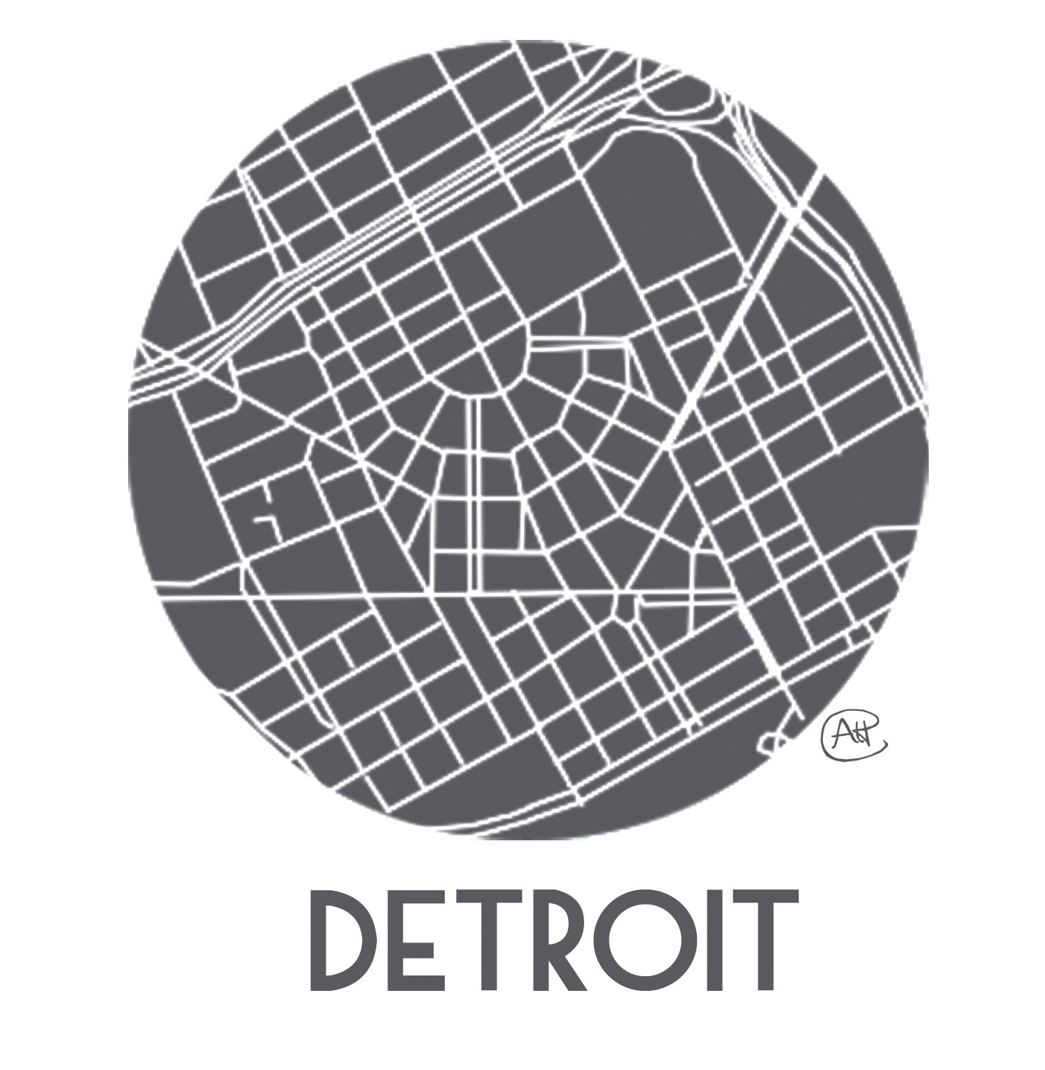
Detroit Cartography/Geography = DETROITography – we are all about maps and geography of Detroit. We like to write about maps that other people make about the City as well as create our own maps of Detroit. This blog was inspired by Mapping the Strait, Bostonography, and Mapping Manhattan.
“There are cities that get by on their good looks. Detroit has to work for a living.”
― Elmore Leonard
The City of Detroit has a deep history which has changed and shaped its unique geography, economy, and society. The Detroit River made the City a critical piece of the early economic and political landscape of the United States. The French built a Fort in what is now Detroit (de Troit = the strait) because it was an important point in the river where they could maintain control. The British captured Fort Detroit in 1760 and resisted a siege by Chief Pontiac.
In 1805, a great fire destroyed all of the Detroit settlement except for the brick chimneys of the houses. The new street design in the aftermath of the fire developed by Justice Augustus Woodward (appointed to run the Michigan Territory) was modeled after the hub-and-spoke design of Washington D.C. This gave Detroit a very unique street grid unlike many other cities, but it most closely followed the native american trails in the region.
Detroit was an important transportation hub for both immigrant migrations and the underground railroad and experienced a population boom as a result of the automobile industry. The importance of the automobile industry and Detroit’s manufacturing prowess earned it the nickname “The Arsenal of Democracy” and saw many industrial factories emerge along the skyline.
These historical events and many more recent have shaped Detroit’s geography and in many ways its current troubles and inequalities. Maps offer great insight into the past and help us visualize sometimes confusing information, but they are only one piece of the puzzle.
LAND ACKNOWLEDGEMENT
We map these lands, but they are not ours.
We acknowledge the history of Waawiyatanong (what is now called Detroit, Michigan) and wish to honor the Indigenous people who continue to steward this land.
Founder & Principal
I started this project in an attempt to bring together various Detroit cartographers and their great work. It has become so much more. We run community workshops, advise city government, and have launched numerous projects, including: the Detroit Food Map Initiative, Property Praxis, Detroit-Neighborhoods, DetroitData
Data Analyst
I’ve worked professionally as an SEO Manager and Analyst and have spent years as an activist personally working to make Detroit the Mobility City. Whether it’s advocating for sidewalk repairs, safer streets, a bathroom network, reopened libraries, or something else, I’m putting my efforts into impactful change.
Senior Developer
I am a software developer and Senior Software Engineer with a focus on building mobile web functions.
I have helped maintain DetroitData.org, Detroit-Neighborhoods.com, and launched our Detroit Map Puzzle!
Junior Developer
I’m a data scientist and a software developer who likes creating initiatives that drive positive social impact. I’m currently completing my studies at the UM School of Information.
There’s a lot of data out there that has a lot of potential to be put to good use!
Data Curator, DetroitData
I am a data analyst with a background in research into the social factors in metro-Detroit that influence health throughout the region.
I believe in the power of data to highlight health inequities and better inform policy.
Coordinator, Detroit Food Map
I’m a food scientist and community nutrition advocate, with degrees in Dairy Chemistry and Plant Protein Chemistry. I’m currently working towards a PhD in Nutrition, concentrating on enhancing public health through meaningful improvements in grocery store design and practices.
CONTRIBUTORS
Mark Jones
Mark Jones is a GIS/ Data Analyst for the City of Detroit Construction & Demolition Department. He’s worked and lived in Detroit for 10 years and has been actively researching the History of Woodbridge for WNDC and is the founder of the Woodbridge Co-hop.
Marques King
Architect, urban designer, and native Detroiter. He works for a non-profit developer on the east side of the city as well as principal of his own architectural firm, Fabric[K] Design, focused on small-scale neighborhood infill projects.
jacqui Au
Wanderer and thing-finder, promoting walkability awareness with a kick of whimsy through the Detroit Area Rambling Network.
Tyler Shelton
Currently works for the City of Detroit’s Enterprise GIS Team standing up systems and solutions for city data problems. Formerly a Graduate student in the Department of Urban Studies and Planning at Wayne State University and Executive Board member of the Wayne State Student Urban Planners (WSSUP).
Paul is a native Detroiter and recent graduate of the University of Michigan Master in Urban and Regional Planning program. Paul is passionate about the intersection of history, urbanism, and social justice in Detroit and is interested in empowering communities with a working understanding of how the built environment impacts daily life.
Printmaker, teacher, and map enthusiast! She works in her print studio, the Prankster Press, housed in the Riopelle Artist Collective. Lyz leads The Detroit Atlas Project with funding from a Knight Arts Challenge Grant.
Assistant Professor of Geography and Urban Planning at UM Dearborn with research focused on economic geography, land markets, and the politics of blight. He spearheads the Property Praxis project and organizes the Urban Praxis Workshop.
Formerly a 2012 Code for America fellow in Detroit working on LocalData, DetroitWiki, and the Detroit Ledger. Matt is now Senior Software Architect at ReGrid/Landgrid/LOVELAND.
Cartographic provocateur, bicycle commuter, plant eater, and Detroit advocate and land owner. GIS Analyst for Denver Public Schools, he has a soft spot for Detroit as a Windsorite.
PROJECTS

DetroitData Open Data Portal
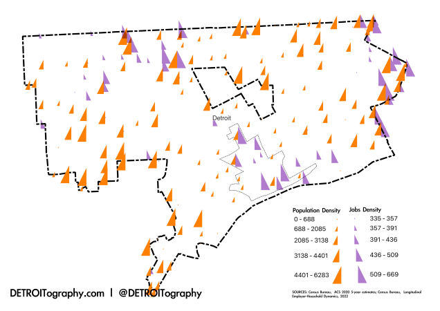
DetroitData is an open, online collaborative data portal; a voluntary association of individuals, groups, and organizations working to develop a common data repository for Detroit. Find nearly 1,000 datasets from over 50 organizations in the […]
Need a Map?
Does your organization need a map of neighborhood assets? Are you looking to better understand Detroit’s geography for your start-up? Are you working on a Detroit-based data project that needs a map? or email us […]
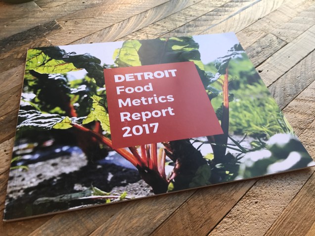
Detroit Food Metrics Report
This annual report from the Detroit Food Policy Council gathers twelve key metrics on the local food system and dives into timely themes like urban agriculture, structural racism, and more. Information is displayed in easy […]
Maptime Detroit
“Maptime is, rather literally, time for mapmaking. Our mission is to open the doors of cartographic possibility to anyone interested by creating a time and space for collaborative learning, exploration, and map creation using mapping […]
Detroit Food Map Initiative
The Detroit Food Map Initiative (DFM) has been the only entity consistently conducting assessments of Detroit’s neighborhood grocery landscape. Data collected in 2013 and 2015 has been utilized by the Detroit Food Policy Council, Detroit […]
Property Praxis
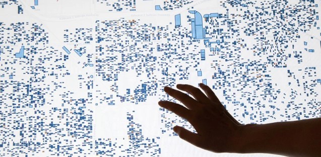
Property Praxis is a collective exercise illustrating the impact of speculation on cities. This map focuses on Detroit. Though speculative practices vary, these activities often change the role and use of property in neighborhoods and […]
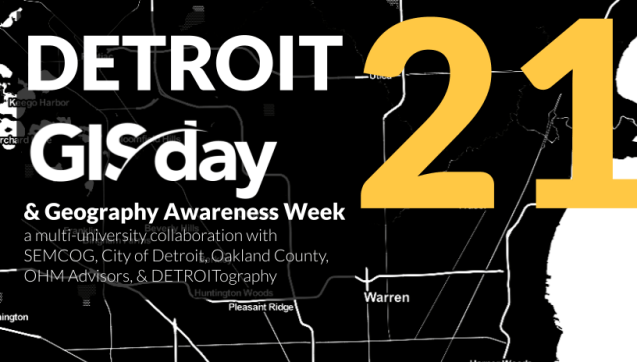
Detroit GIS Day
DETROITography has participated in GIS Day since 2014 with UM Dearborn. Since 2020, DETROITography has organized Detroit GIS Day with Wayne State University, the University of Michigan-Dearborn, and University of Detroit Mercy. GIS Day is […]
Vote Detroit
Knowing where to vote and how to get there should be the easy parts of voting. Democracy depends on engagement and Detroit has relatively low levels overall from the loss of city services, emergency management, […]
