
by: Joanne Coutts
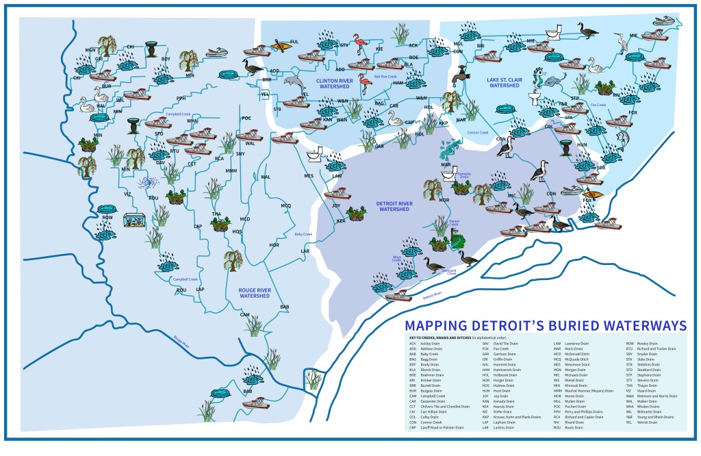
In May 2025, I shared the almost complete Mapping Detroit’s Buried Waterways project map from my GAIA account. In Fall 2025 I finally finished the project, having ridden my bike 312.8 miles (call it 313 miles but no-one would believe the serendipity), over 41 hours and 43 minutes and recorded 613 items relating to water along the routes of the buried creeks, drains, and canals.
Since then, I have been enjoying creating icons and maps to share my experience of following the buried waterways in a way that celebrates Detroit and Detroiter’s relationship with water.
For this Picture Map of Detroit’s Buried Waterways, I wanted to share some of the more ephemeral items I met on my travels along the waterways – the birds, boats, puddles, garden ornaments, paddling pools – things that perhaps do not often make it onto a map.
For a larger image please click here
 DETROITography