
New Deal projects touched nearly every corner of the United States. From 1933 to 1942 hundreds of thousands of projects modernized our country and many are still in use today; roads, schools, theaters, libraries, hospitals, post offices, courthouses, airports, parks, forests, gardens, and artworks were created in a single decade.
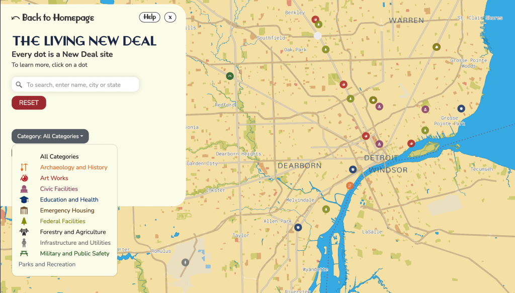
The Living New Deal’s purpose is to make that enduring legacy visible. Our team is building a national database of information, documents, photographs, and personal stories about the public works made possible by the New Deal. And it is all just a click away on our national map of New Deal sites. The late California historian and State Librarian, Kevin Starr, likened the Living New Deal to a WPA project from the 1930s in its ambition and scope.

Damn this is so cool.
>