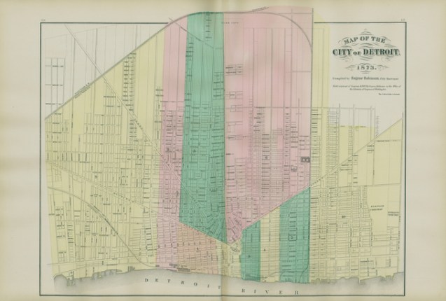
I’m always surprised when I find a historical map that I haven’t yet shared. This map from 1873 is a great reminder that whether it is the 1800s or present day, all maps rely on good data sources and often some data wrangling, compiling, and cleaning.
This map data in particular was compiled by Eugene Robinson, who was a city surveyor for the Library of Congress and began work on this map in 1871. The map was produced and printed by the Calvert Lithographing (and Engraving) Company.

How do I view a high resolution image of the map?