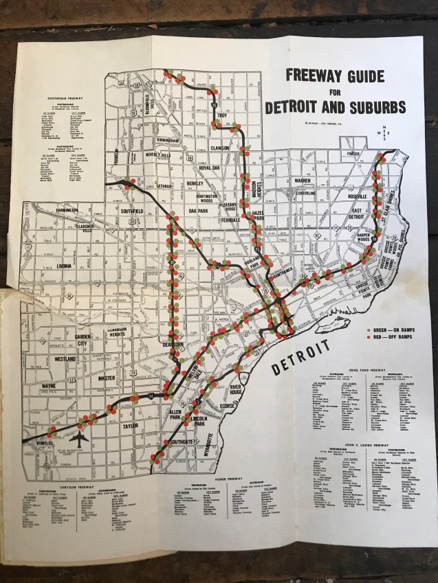
This map was intact in the back of an Arrow Street Guide from 1974. Most often the maps have been torn out of the back to be resold or framed by people looking for historic maps. I liked how on ramps and off ramps were specifically color-coded. Today we wouldn’t really think about location of ramps, but this indicates that it was possibly a critical piece of transit planning.
