 Hand drawn maps are super fun!
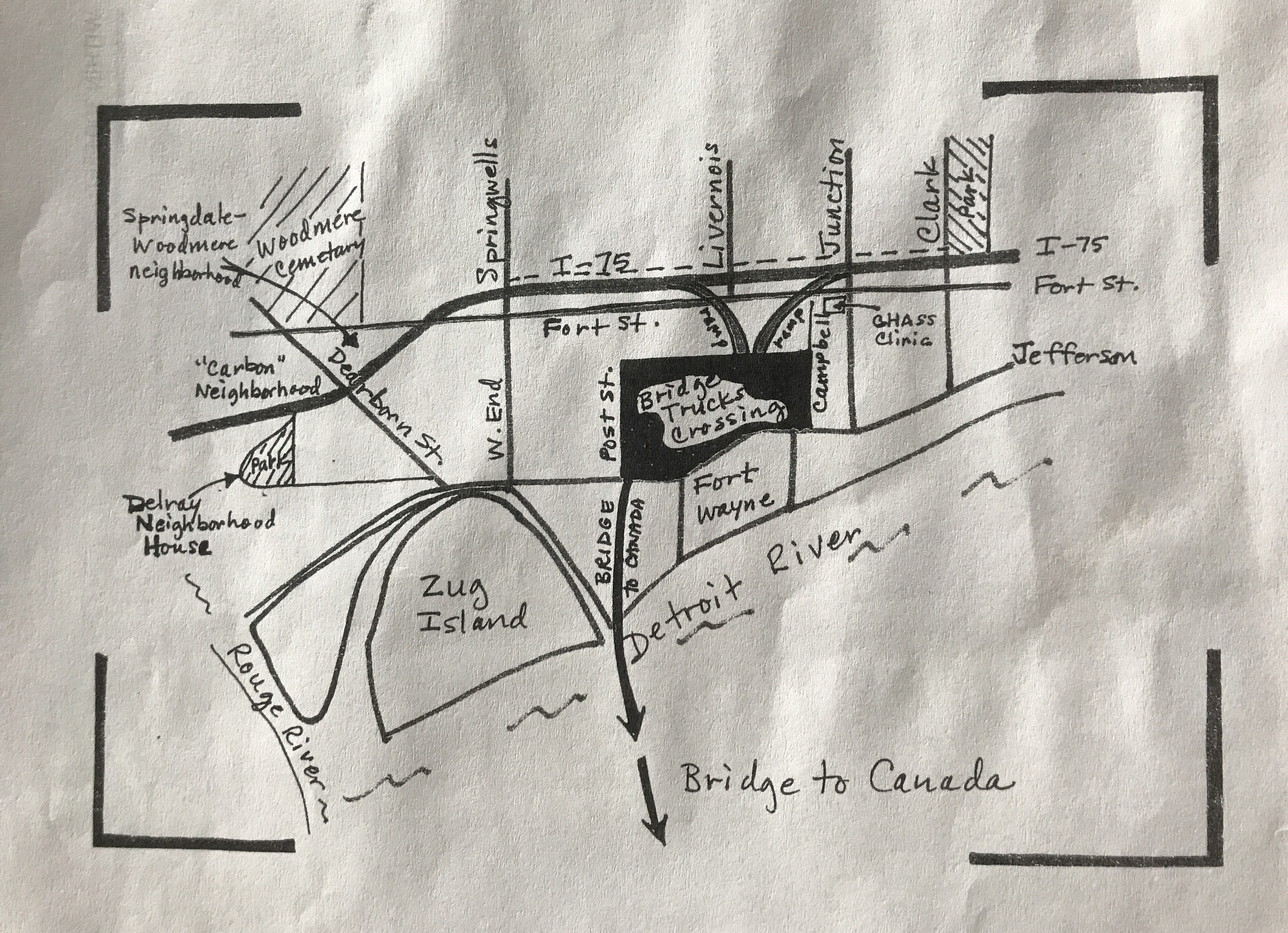
This map was included with a hand out that highlights the potential impacts of the “New International Trade Crossing” bridge to Canada, better known as the Gordon Howe Bridge. Community members have raised concerns about land rights and increased truck pollution in their neighborhood.
The area presents a great opportunity for carbon buffer forests to limit effect of truck exhaust on residents.
