Detroit is a big city with a deep history and so many old and new things happening all the time that it can be near impossible to give anyone a “brief” introduction to the city.
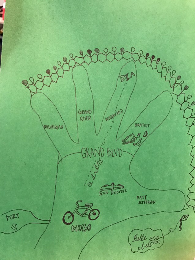
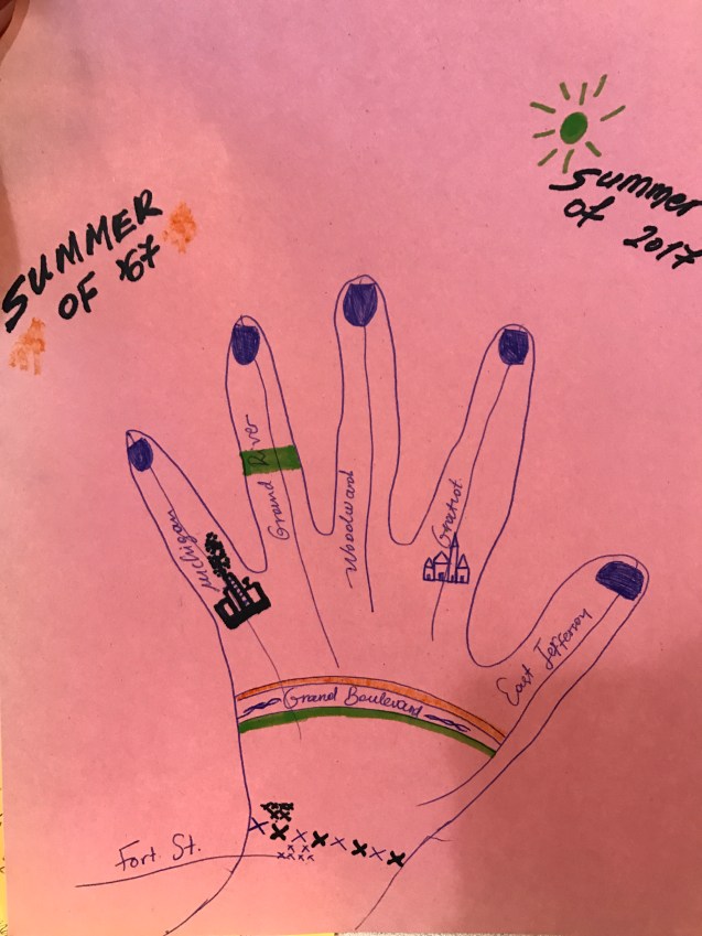
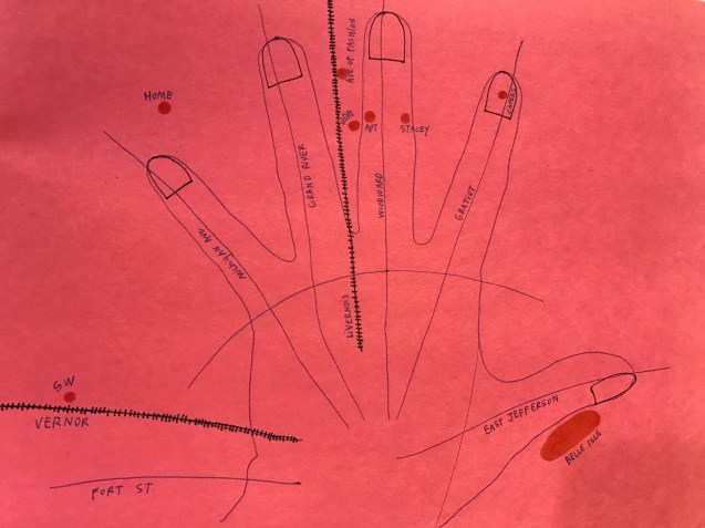
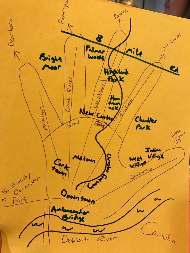
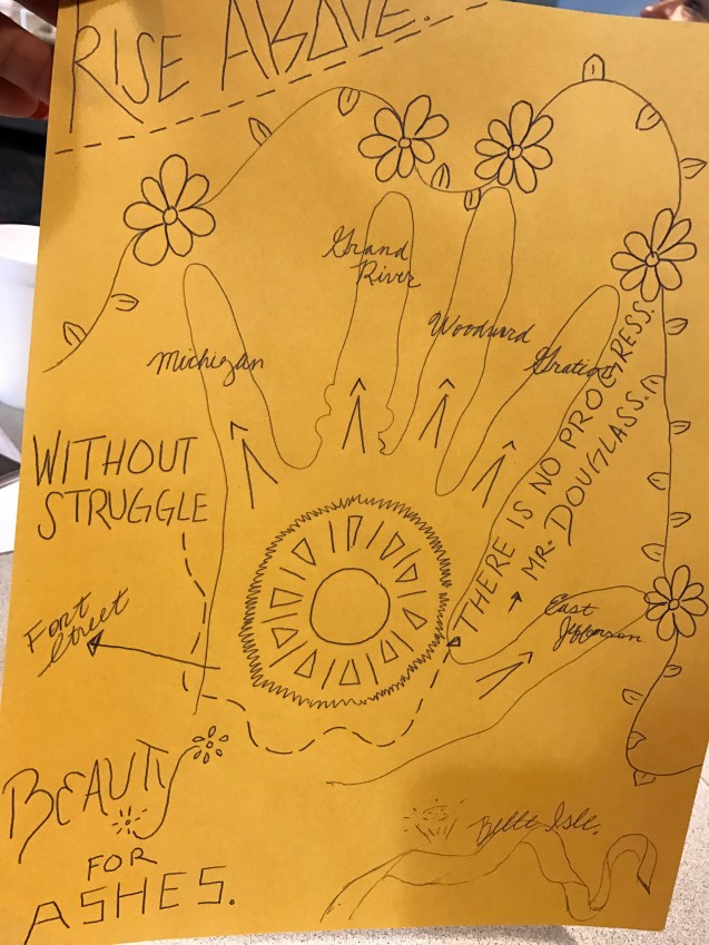
If you’ve ever talked with me, you know that I always start with a hand map. I find it gives people a quick relatable reference. People know more than they think and when they can place the Fisher Building related to Belle Isle they are on track.
The funny part of the hand map is that it focuses geography within Grand Boulevard. Most people try to use their whole hand to represent Downtown and Midtown. This becomes another helpful reference lesson that there is so much more beyond the hip core of Detroit.
These hand maps come from an introductory session with the Detroit Fellows from Humanity in Action.