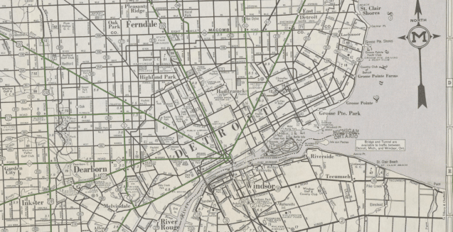
From the New York Public Library (NYPL) digital collections, this map from 1939 shows all the main roads and their status as paved or dirt. Main roads are highlighted in brilliant green.
However, there is no indication of streetcars or any alternative transportation options other than roadways, which seems odd since Rand McNally began by printing timetables for the railroad industry. I guess initiating the numbered highway system and shifting business to publish road atlases for Gulf Oil in the 1920s shifted their focus to roads over rails.
