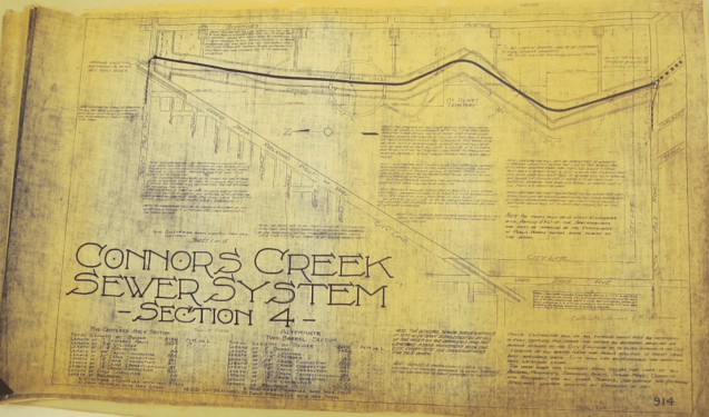
Many of Detroit’s early waterways have become it’s current sewer system.
In the late 1910s, the Creek had become a dumping ground for area residents. Thanks to the railroads that the area’s founder, P.W. Norris, secured for the area, industry was increasing and the river retained little of its former usefulness as a key component of rural mills and irrigation systems. By the mid 1920s, much of the Creek was already diverted underground either to build factories on top of it or to turn into sewers. Today, the only aboveground section is a half-mile stretch before the Creek meets the Detroit River. However, even this section has changed. The course of the river’s mouth was completely altered in the early 2000s when a new water treatment plant was built: the direction of the creek was rotated and it no longer even actually flows into the river. Instead, the Creek ends in little more than a small pond attached to the river; the flow essentially stops once it enters the treatment plant. Both the treatment plant and the sewer are evidence of the many changes that have been instituted in Detroit, which have knowingly (and intentionally) changed the appearance of the area.
Source: Silas Farmer and Co., “New Map and Guide of the City and Environs of Detroit,” Map, 1895, M 4114 D4 1891-1900, University of Michigan Bentley Historical Library.

Pingback: Map: Detroit Eastside Evolution 1876-1925 | DETROITography
Pingback: Map: Diphtheria Contagion from Detroit 1892 | DETROITography