
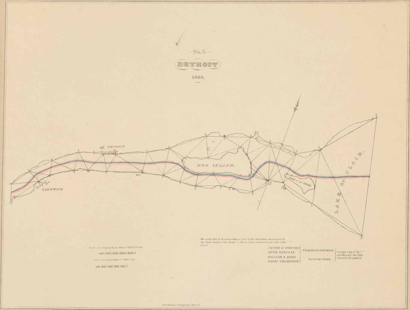
This gem of a map comes from the 1843 bound volume of “A collection of maps, charts, drawings, surveys, etc, published from time to time, by order of the two houses of Congress.” from the Library of Congress online archives.
Detroit was merely a strip in 1820 and Belle Isle was simply Hog Island in the strait.

Isle a la Peche goes back even further than Belle Isle! Nice!