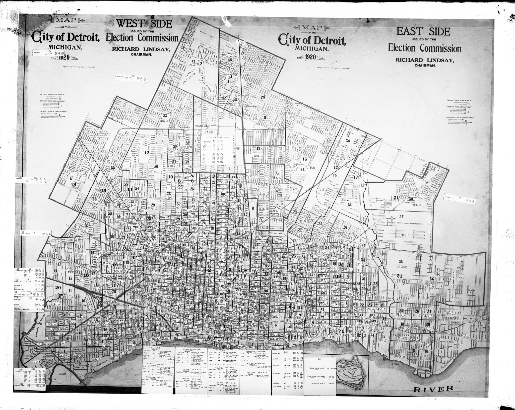
This map is among the Detroit Public Library Digital Collections. The election results are pinned to the map across the city and summarized for each Ward along the bottom.
1920 map of the city of Detroit, Michigan depicting voting districts; election results for other cities attached to map. Printed on map: “Map of the city of Detroit, Michigan, 1920; east side issued by the Election Commission, Richard Lindsay, chairman; west side issued by the Election Commission, Richard Lindsay, chairman; copyright 1919 by the Calvert Lithographing Co., Detroit, Mich.”
