
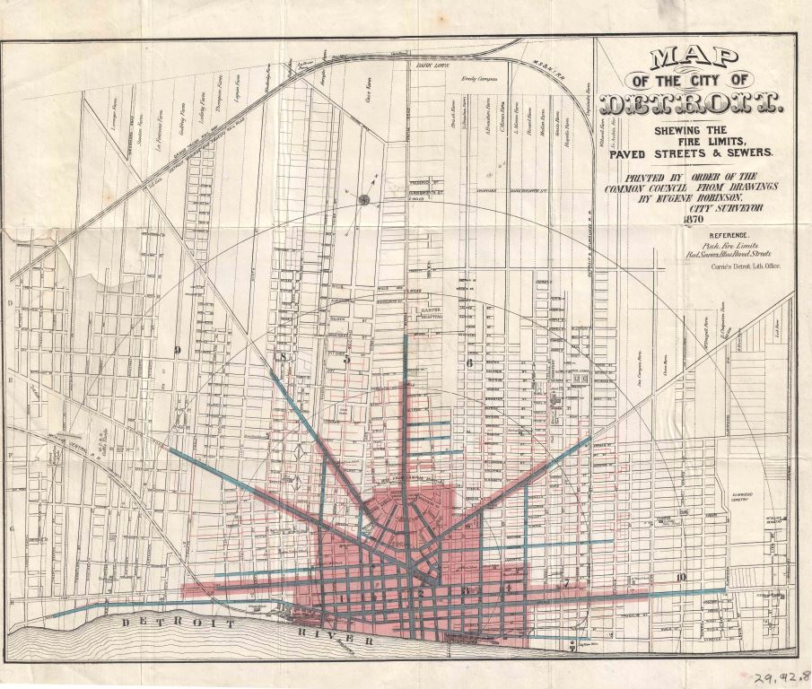
This map shows how far streets have been paved, where the fire department will serve, and sewer system.
The Detroit Historical Society writes:
“In 1870 it would have been important to show what parts of the city received certain services. This map is shaded pink where fire protection was offered, blue highlights paved roads, and red indicate sewer lines.”

Pingback: Map: Sanborn Fire Insurance Detroit 1897 | DETROITography