by: Neel Marathe, University of Michigan urban technology student completing a GIS internship
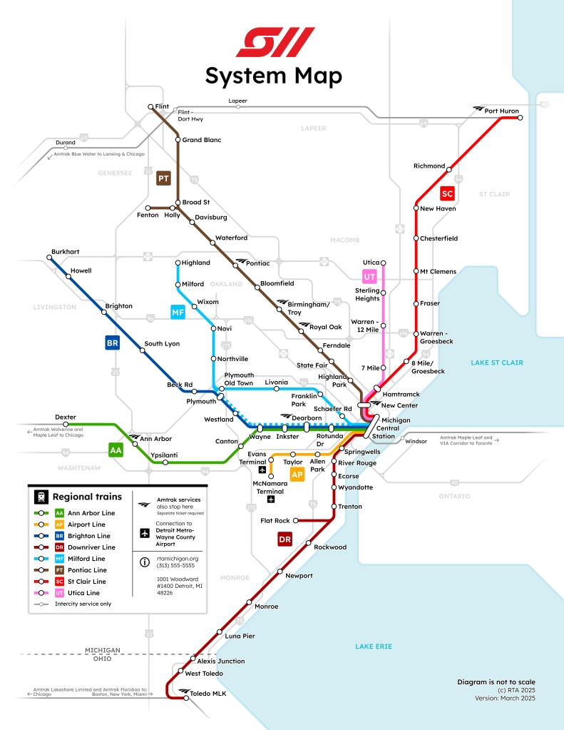
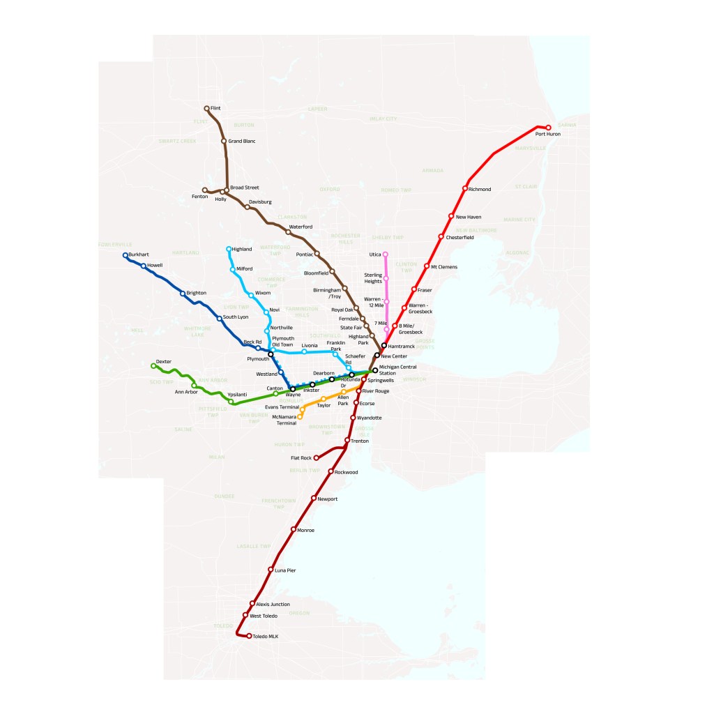
What if SEMTA, the one-line commuter rail from the 70s, grew instead of dying out? Inspired heavily by Metra and GO Transit, this project that I worked on over spring break imagines that Detroit had a regional/commuter rail system that matured through the ages (not like a brand new proposal). This system entirely uses existing tracks owned by many different freight companies, but imagines that they’re improved a lot for passenger use.
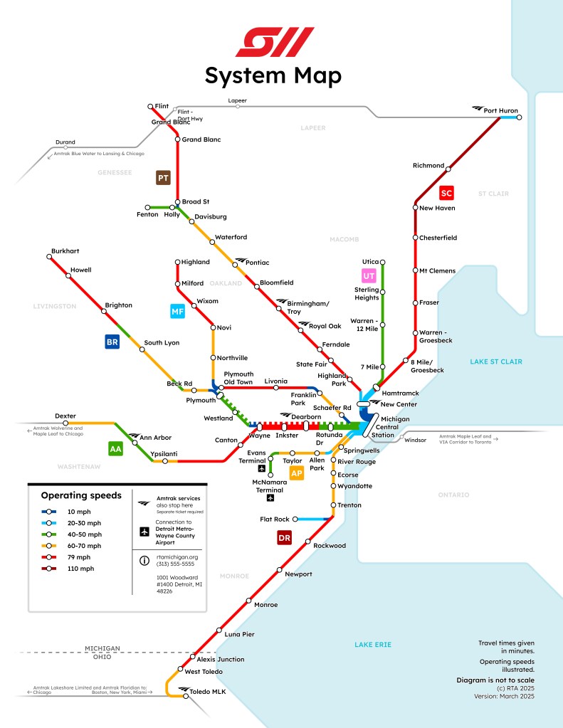
Perhaps interestingly, I imagine that what I’ve depicted as the Downriver line is actually an electrified former interurban once operated by the Detroit United Railway—very similar to the South Shore Line in Chicago/Indiana. Even Henry Ford attempted to run an unconventional electrified freight railway on this corridor (didn’t go well). This being electrified would’ve made it easy to also create an electrified airport line, which features the only non-existing right of way in the map. The rest of the lines would probably run with diesel trains.
I’m also in the process of making fictional timetables for all these lines, with service patterns based on a commuting habit analysis sourced from this handy SEMCOG map (the patterns are present there).
Tools: ArcGIS Pro to start & make the shapefiles, Figma for everything visual.
Why no ring line? Why do they all terminate at MCS?
I wanted this map not to be perfect, but somewhat realistic to the imagined continuation of SEMTA’s operation. Thus it looks very similar to Metra’s and GO’s systems. I was especially inspired by GO, who run a great regional bus service that complements their rail network with non-radial lines along major freeways, and fills in the unserved corridors with lower capacity, higher frequency service.
As many pointed out, Detroit isn’t the center of Detroit—there’s much more demand here to go to other job centers: edge cities like Troy, and the unique case of Ann Arbor. I think a radial rail line would be great, and ridership would make sense too, considering the decentralized nature of traffic patterns in our metro area.
Why no western access to the airport?
There are a number of ways to imagine this system—this one is not great for that use. There’s definitely rail routings that’d make transit from the western metro to the airport more possible. For mine, I wanted to imagine that an electrified interurban down to Toledo would be the basis for an electrified, high frequency airport line that also serves some other downriver communities that the main lines would miss out on.
Why no service to Southfield, Farmington, etc?
I wanted to stick to using current existing rail right-of-ways to remain realistic; there are no rail lines that go to those communities. This is also somewhere I imagine that a complementary bus service would fill the gaps, by providing connections to stations or directly into town and other peripheral destinations. I imagine that the current SMART buses would be very useful for this—travel from the Troy/Birmingham station into the business district, for instance.
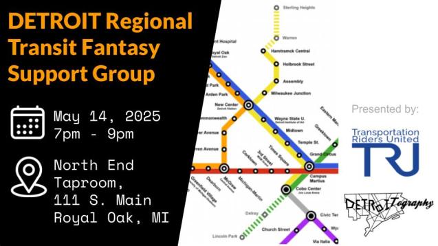
Don’t miss our next event!