
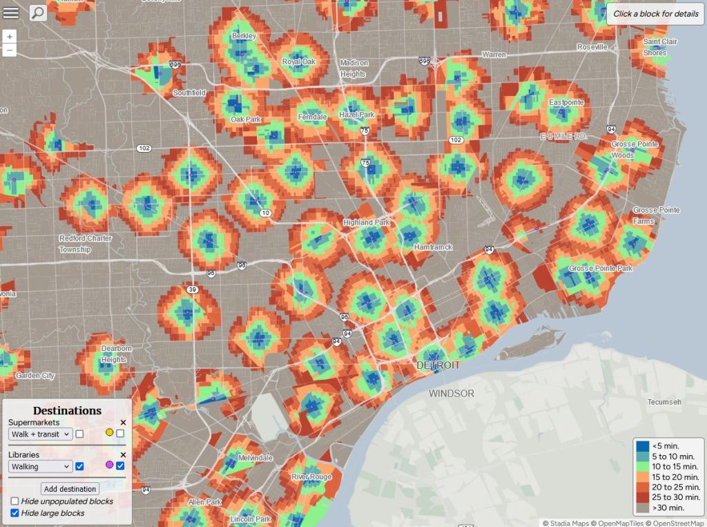
A new tool to measure accessibility and walkability in cities is out called Close from Nat Henry. The tool relies on supermarket and libraries data points in order to assess closeness. Oddly the data sources are not listed, so it is tough to measure supermarkets against our annual updated list of grocery stores and the data clearly doesn’t account for Detroit’s trouble with library funding and branch closures.
These kinds of tools are fun and interesting, but the lack of local nuance makes them tough to get too excited about when these maps might be used to paint a narrative about Detroit that isn’t quite right. The need for improved local data collection is critical.
