

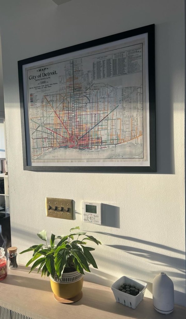
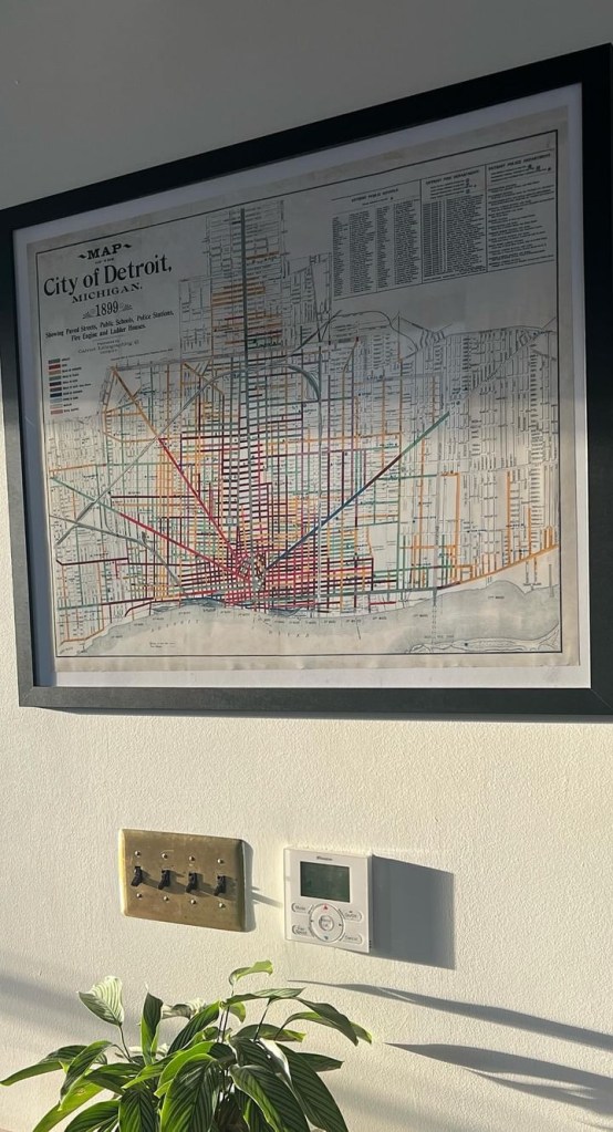
What is your map from home (title, year, etc.)?
This 1899 Map of the City of Detroit reprint shows paved streets (of various materials), public schools, police stations, street names, and more!
Where did you find/acquire the map?
I purchased this map from a historical map print seller on Etsy.
What made you hang it on your wall? What stood out to you? What details do you enjoy about the map?
I love maps – I’ve been gifted and purchased a few of my own. Detroit is the city that introduced me to my profession of urban planning, the city that I’ve studied most in-depth, and ultimately the city that I wanted to work in.
This particular map stood out to me because of the intersecting colored lines and the bold symbology – it reads like a piece of art. Detroit is my favorite city, so to have a piece of “art” that reflects this City’s history on my wall is special to me.
What in your background has drawn you to maps?
As an urban planner, I’ve spent a lot of time analyzing maps, and now creating maps. Maps are such a powerful medium that tell a unique story of place, how it functions, and how it changes over time.
