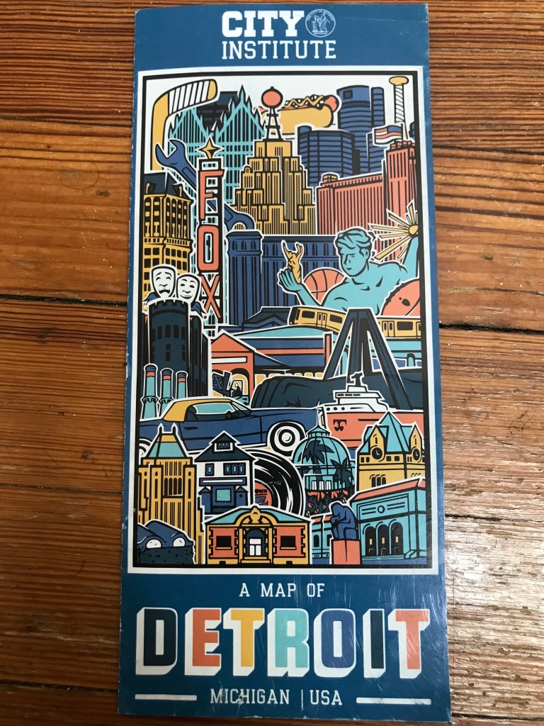
“A Map of Detroit, Michigan, USA.” Originally created in 2020 for Jeanette Pierce and Detroit Experience Factory, and updated for her organization, The City Institute, in 2022.
How did you come to make this map? What’s the story?
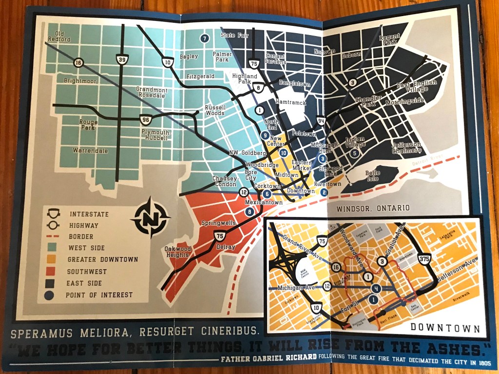
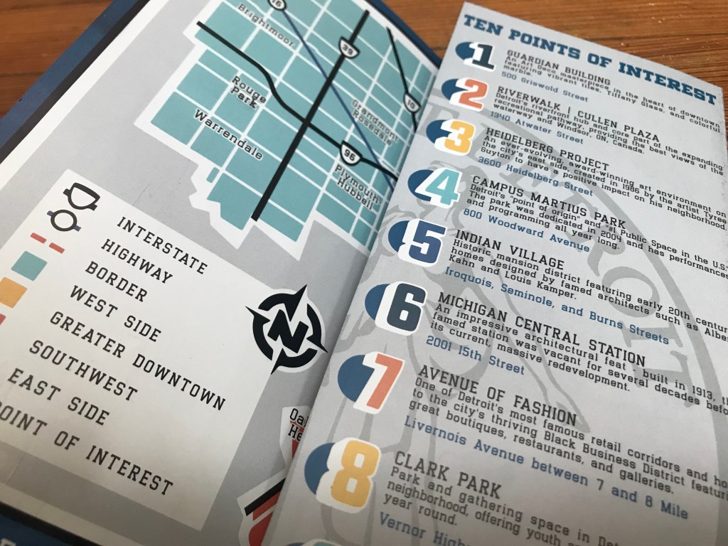
I have been working with Jeanette for years, first as a tour guide at DXF and then as a designer for all sorts of projects related to that organization and its successor, The City Institute. In addition to providing tours, DXF operated The Welcome Center downtown and handed out a number of helpful free print resources to the folks who would stop in. The map was created as both a promotional tool for their tours and to give a quick overview of notable points of interest to someone looking to explore the city. It also aimed to provide some brief history and information about each of those places.
What are you most proud of in the map? What stood out to you? What details do you enjoy about the map?
I’m most proud of how playful it is, visually speaking. We tried very hard to walk that line of functionality and aesthetics. We accepted the reality that paper maps are a novelty for most people and that the majority of them would end up navigating to their final destination on their phone, so we chose to keep it very simple in terms of details like street names. The result is a handy list you can glance at and get a quick sense of the general area, the proximity between places, and the broad route that you would need to travel to get there.
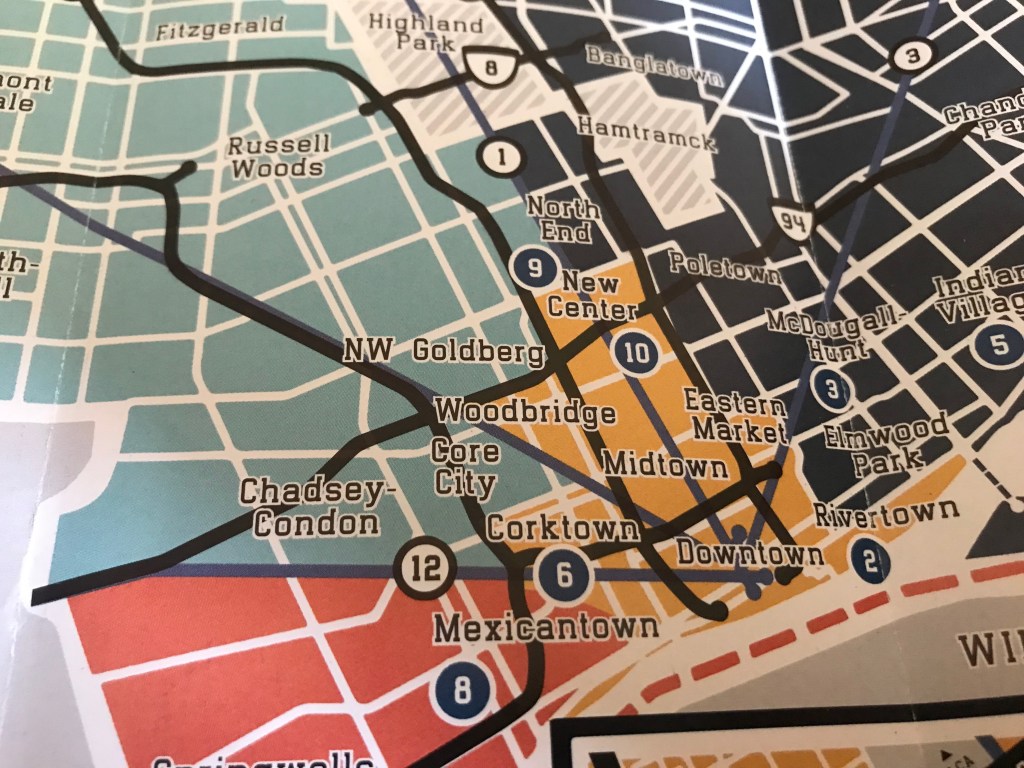
One of the details that I enjoy is the inclusion of so many of the neighborhood names and locations. To me, the act of naming a place gives the reader more of a feel of the area, even if they are a total stranger who doesn’t know anything else about it. A named place feels more real to people. And those individual neighborhoods are the lifeblood of any city because that’s where the majority of the residents actually live, so directly calling them out was a big priority for us.
What in your background has drawn you to maps?
I’m a big history buff and I love knowing how things work. I feel like you can really understand how a place has grown and see its inner workings on display on a map. You can look at the street patterns and directly relate them to waves of immigration into an area or to the migration out of them, to the openings and closings of entire industries, and so much more. You can see what the people living there prioritized, make inferences about what their local leaders envisioned for the next generation, and how those visions succeeded or failed. With the right context you can look into a place’s past, present, and future on a good map.