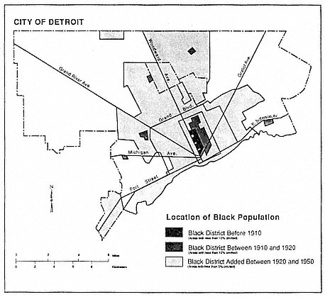
 This Wednesday’s map from William Bunge shows the dispersion of Detroit’s black population from the core Paradise Valley and Black Bottom (named for its rich black soil near the Detroit river) out into other regions of the city. The city is now 82% Black/ African American by the 2010 Census.

