-
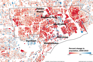
Detroit’s population change by block 2000-2010
-

Map: Detroit Building Age Density Map
-
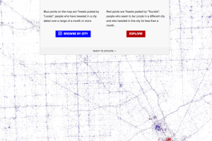
Map: Locals and Tourists in Detroit
-
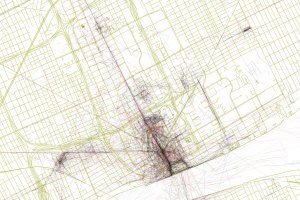
Map: Geotaggers’ Atlas of Detroit
-

Map: Detroit’s Digital Divide
-

Detroit Building Footprints Map
-

detroit: giving data empathy
-

Event: Data Discotech and Digital Justice
-

Data: 29,000 Parking Spaces in Detroit’s Woodward Corridor
-

Workshop: Data, Mapping, and Research Justice
-

Event: #Maptime Detroit – QGIS Intro
-

Map Your Detroit!
-

Event: #Maptime Detroit – Open Data Dive
-

Map: Detroit Liquor Licenses 2011, Fresh Corner Cafe, and Green Garage
-

Is Detroit’s Data More Open?
-
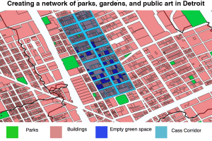
Open Green Spaces Map: Creating a network of parks, gardens, and public art in Detroit
-

Data: Over 20,000 New Streetlights Installed in Detroit
-

Data: 40% of Detroit Households Have No Internet Service
-
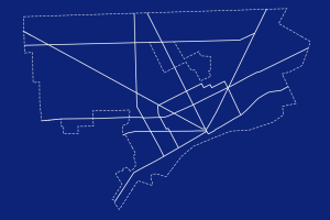
Happy GIS Day Detroit!
-
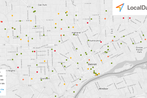
Live Detroit Bus Map: Watch Detroit’s buses sweep around the city
-

Data: Bicycle Shops and Businesses in Detroit