
What is your map at home (title, year, etc.)
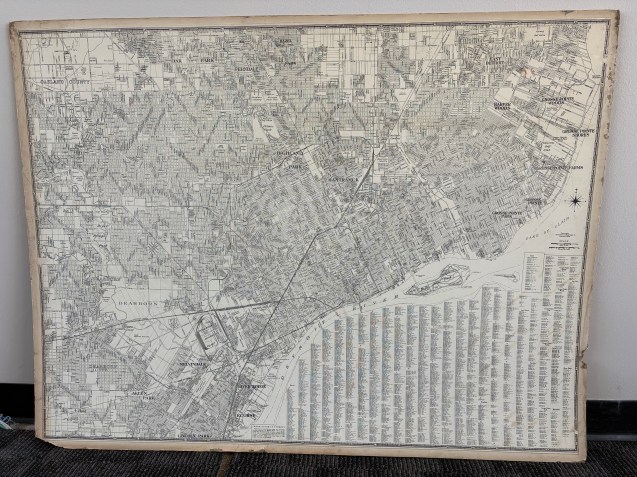
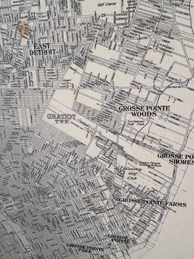
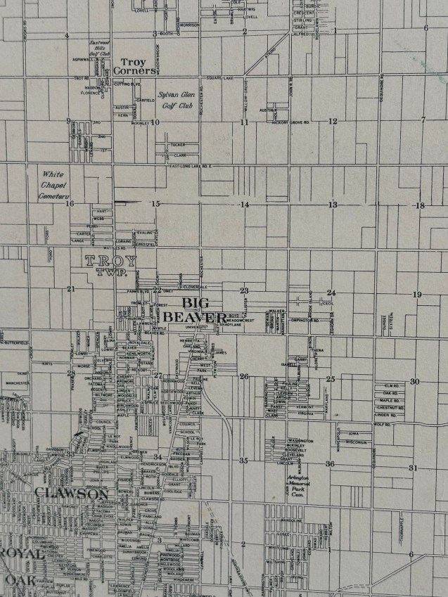
We have two maps from the National Lithograph Co. likely 1940s, but we’re not really sure. There are no expressways on the maps yet, not even the Davison Freeway (construction started 1941, opened 1942). General George S. Patton Park was officially named in 1946, but appears on this map.
Where did you find/acquire the map?
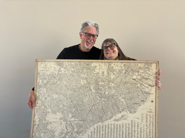
These maps were passed down through the family. Kathy’s grandfather worked for the Hygeia water filter company downtown. He had the maps hanging in his office and brought them home after retiring as Vice President of the company. The maps have since been saved in our basement with other Detroit memorabilia.
What made you hang it on your wall? What stood out to you? What details do you enjoy about the map?
Dave: The county map shows the region at pre-development before the suburban explosion after WWII. It’s fun to see city we know now look like small towns. Places the city in early time and we can imagine how it grew. Warren on this map is a tiny town, Troy doesn’t exist – its Big Beaver. Gratiot Township remains before being renamed as Harper Woods in 1951.
Kathy: See a lot of golf courses to the East and less neighborhoods. WSU is just Wayne University and simply a one block area before the campus expansion.
What in your background has drawn you to maps?
Dave: I’m fascinated by the past, archeology, and location – helps you to know where you are. My father had a grocery store in the 1930s on Forest in the mostly Polish neighborhood there and we’ve visited and explored some of those places before they were demolished.
Kathy: I got involved in Detroit history for the Tricentennial. Now I’m a tour guide for Preservation Detroit. My Grandfather grew up on Hastings. I also have one direct ancestor listed as part of Cadillac’s advance party.
