In the urban planning realm, third places or informal gathering places, are often discussed in relation to creating great places to live and reknitting the urban fabric of communities that have seen disinvestment. Evan O’Neil created this national index based on Open Street Map data to explore the density of third places.
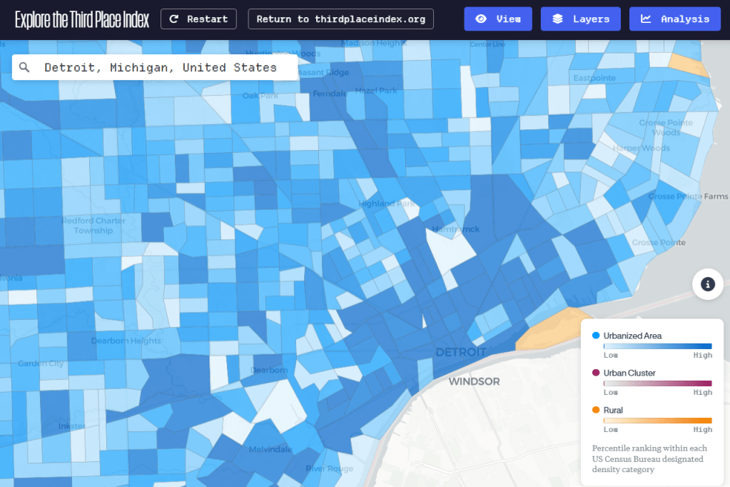
The Third Place Index scores every U.S. census tract from 0–100 based on access to these types of spaces. This score determined by point of interest data queried from OpenStreetMap for each location type. Higher scores mean more places to connect and build community. Lower scores mean fewer options and more isolation.
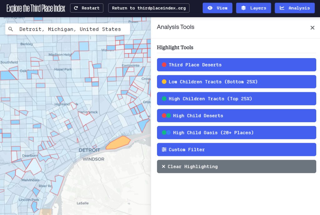
An interesting addition to just looking at density is an analysis feature to focus on “third place deserts” and the density of children across cities. In Detroit, third places are most dense in areas with low child populations and third place deserts appear dispersed all across the city. Looks like we need a lot more third places in Belle Isle!