
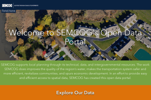
SEMCOG staff create and maintain GIS (Geographic Information Systems) data to support regional planning, modeling, and other efforts. GIS allows the user to view, interpret, and visualize data in many ways that reveal relationships, patterns, and data trends.
Although SEMCOG serves the metro region, you can often find interesting and unique planning data for Detroit.
SEMCOG staff facilitates discussion among geospatial professionals by hosting quarterly meetings of the Southeast Michigan GIS User Group.
