
Thirteen years ago, DETROITography launched in September 2012.
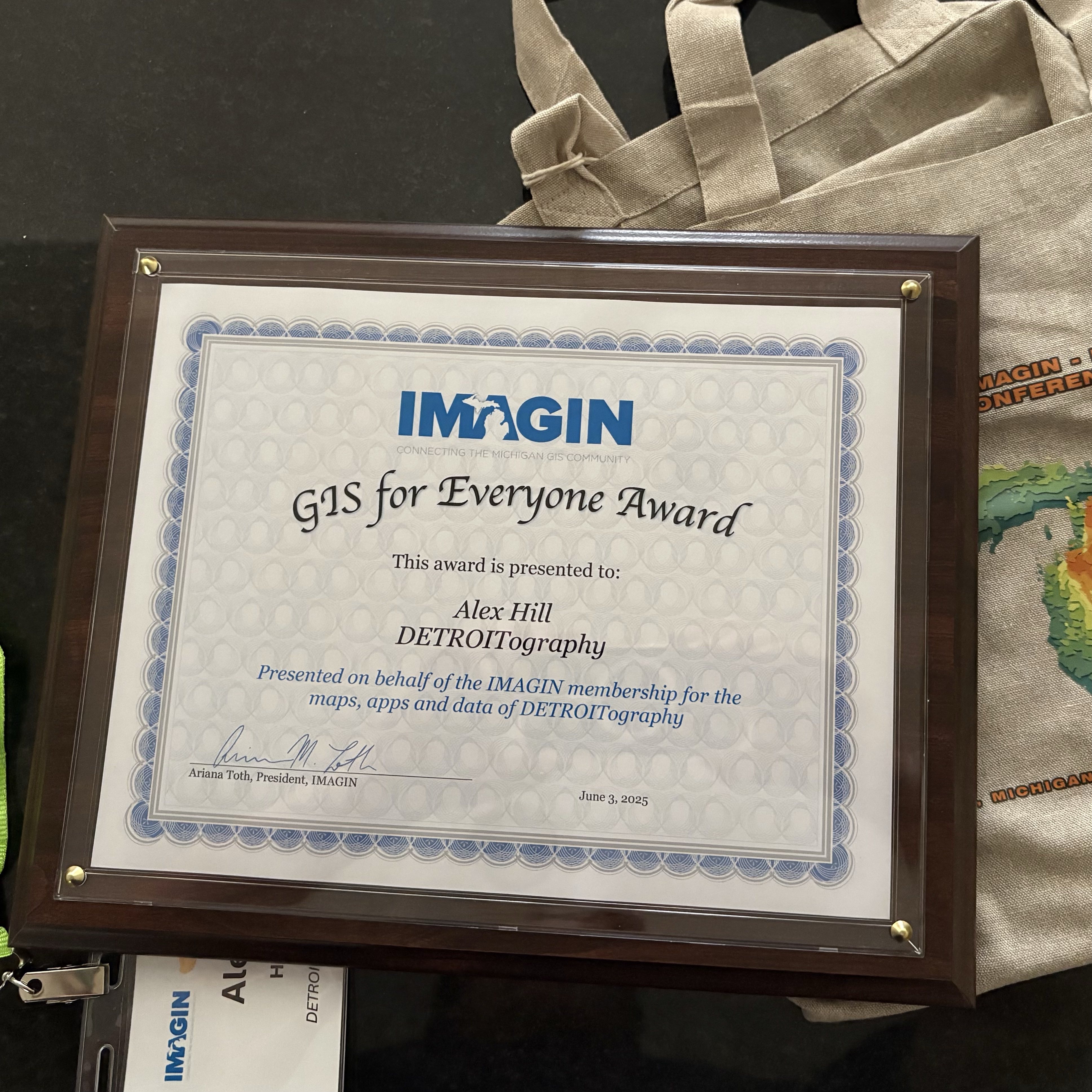
Since that time we’ve published a book of maps, produced award-winning map reporting with Model D Media, and have been recognized by the statewide geospatial organization for promoting “GIS for Everyone.”
This is a labor of love for Detroit that we can’t ever imagine stopping. This is for you Detroiters!

Become a monthly subscriber and get a mappy sticker!
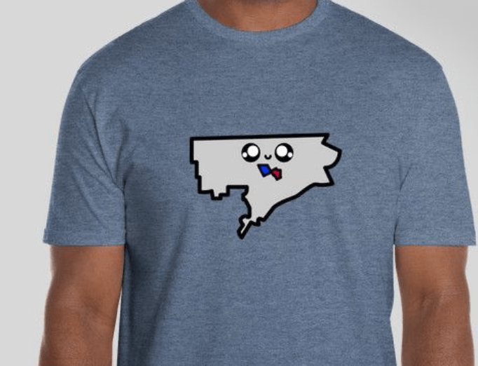
Choose the Detroiter option and get a mappy sticker and a mappy t-shirt!
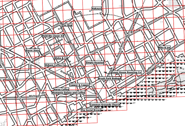
Be a map nerd for life and get a sticker, t-shirt, and custom Signal-Return printed Detroit coffee map!


DETROITography is the hub for all things city design, geography, maps, and urban planning.
The contemporary culture of Detroit is captured, documented, and mapped by DETROITography. On top of timely and well-designed maps of the contemporary city, DETROITography also hosts monthly events that bring together practitioners across disciplines to present and discuss current issues, new data and information, or reflections on the past.

DetroitData Open Data Portal
DetroitData is an open, online collaborative data portal; a voluntary association of individuals, groups, and organizations working to develop a common data repository for Detroit. Find nearly 1,000 datasets from over 50 organizations in the […]
Need a Map?
Does your organization need a map of neighborhood assets? Are you looking to better understand Detroit’s geography for your start-up? Are you working on a Detroit-based data project that needs a map? or email us […]
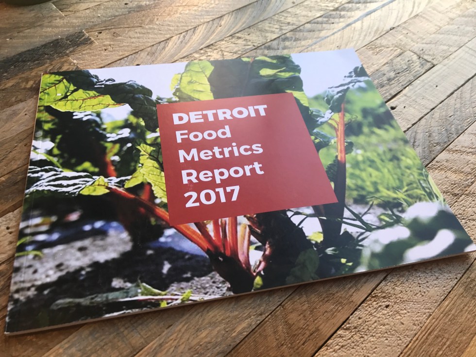
Detroit Food Metrics Report
This annual report from the Detroit Food Policy Council gathers twelve key metrics on the local food system and dives into timely themes like urban agriculture, structural racism, and more. Information is displayed in easy […]
Maptime Detroit
“Maptime is, rather literally, time for mapmaking. Our mission is to open the doors of cartographic possibility to anyone interested by creating a time and space for collaborative learning, exploration, and map creation using mapping […]
Detroit Food Map Initiative
The Detroit Food Map Initiative (DFM) has been the only entity consistently conducting assessments of Detroit’s neighborhood grocery landscape. Data collected in 2013 and 2015 has been utilized by the Detroit Food Policy Council, Detroit […]
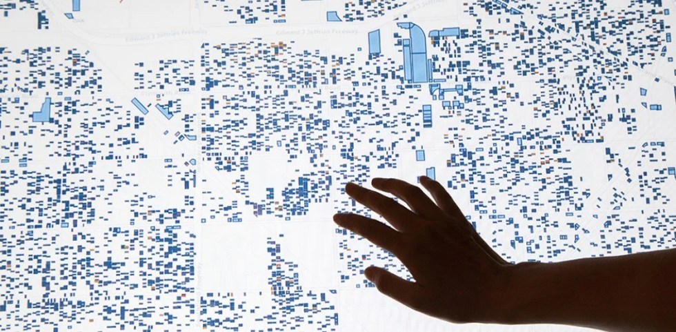
Property Praxis
Property Praxis is a collective exercise illustrating the impact of speculation on cities. This map focuses on Detroit. Though speculative practices vary, these activities often change the role and use of property in neighborhoods and […]
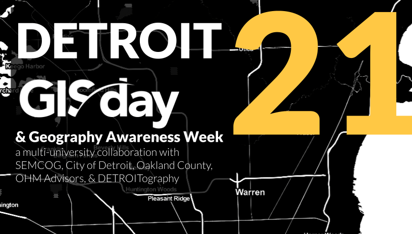
Detroit GIS Day
DETROITography has participated in GIS Day since 2014 with UM Dearborn. Since 2020, DETROITography has organized Detroit GIS Day with Wayne State University, the University of Michigan-Dearborn, and University of Detroit Mercy. GIS Day is […]
Vote Detroit
Knowing where to vote and how to get there should be the easy parts of voting. Democracy depends on engagement and Detroit has relatively low levels overall from the loss of city services, emergency management, […]
